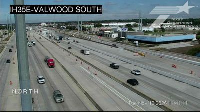
 Carrollton: IH35E @ Valwood North
Among the places of Texas, Carrollton stands out for its position on the I-35E corridor between Dallas and Denton. This north Dallas suburb occupies the broad, urbanized plains of the Trinity River basin, where major freeways, rail infrastructure and business districts meet. Carrollton began as an agricultural settlement in the 1840s, and the arrival of the railroad helped shape its early growth. Today its historic downtown contrasts with an extensive metropolitan landscape of neighborhoods, offices and industry. I-35E gives the city a practical regional role, carrying traffic through the Dallas–Fort Worth area while linking local streets such as Valwood Parkway to a major interstate route. Carrollton is defined less by a single monument than by its place in the working fabric of North Texas.
Generated by AI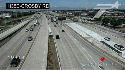
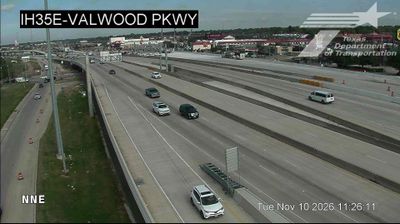
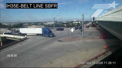


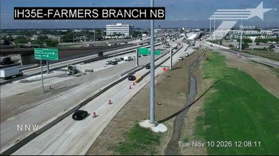
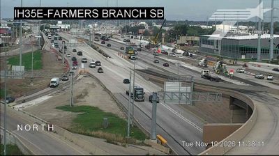
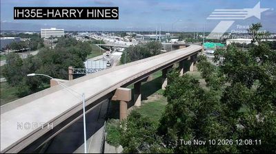


Carrollton lies along the Elm Fork of the Trinity River, where the broad Blackland Prairie has become part of Dallas–Fort Worth’s northern suburban belt. Extending across Dallas, Denton and Collin counties, it grew from a railroad-era farming community into a diverse city within one of Texas’s largest metropolitan areas. Historic Downtown Carrollton retains an older commercial district near the rail line, while the A.W. Perry Homestead Museum preserves a 1909 house connected with an early local family. Browse other webcams across the Dallas–Fort Worth area to place Carrollton in a wider geographic context.
13 webcams
The terrain of Texas ranges from pine forests in the east to deserts and mountain ranges in the west, creating striking contrasts in climate, vegetation, and settlement. The state also stretches from the Gulf of Mexico coast to the High Plains, with the limestone hills of the Hill Country lying between. The Rio Grande forms much of Texas’s border with Mexico and has long shaped its geography and cross-border connections. Austin, the state capital, is a major centre for music and technology, while San Antonio’s Alamo recalls the 1836 battle central to Texas history. Ranching traditions, Mexican and Indigenous heritage, and a vast road network give the state a distinctly varied character. Browse additional webcams from the surrounding area to extend your view of Texas.
3.8K webcams
The Atlantic, Pacific and Gulf coasts define much of the United States — their ports, fisheries and trade routes have long tied the country’s economy to the wider world. Between them, the Rocky Mountains, Great Plains and Mississippi River basin form sharply different regions, from high western ranges to broad agricultural heartlands. Cities carry much of the national story: New York’s Statue of Liberty, a gift from France dedicated in 1886, remains an enduring symbol, while Washington, DC concentrates major federal institutions. Indigenous nations have shaped these lands for millennia, and their living cultures remain essential to the country’s identity. Find related webcams in the surrounding areas to build a fuller picture of the United States.
32K webcams