 Canton Township: US 52: U.S.52 (Canton - MP 2): U.S.52 (Canton - MP 2) View 1
Canton Township sits in the Driftless Area of southeastern Minnesota, United States, where terrain not flattened by the most recent continental glaciation is cut into hills and narrow valleys. In Fillmore County, close to the Iowa border, the township belongs to the wider Upper Mississippi River watershed. Its setting differs markedly from the broad, lake-studded glacial plains associated with much of Minnesota: fields and scattered farmsteads follow a more folded relief, connected by rural roads. Agricultural land and varied topography remain defining elements of this corner of the state.
Generated by AI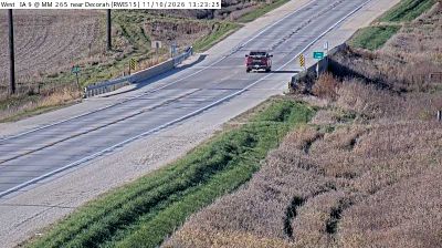
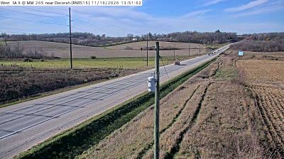
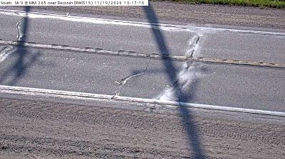
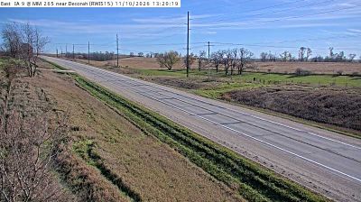
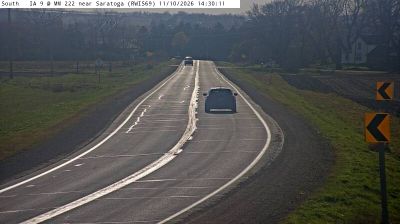
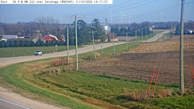
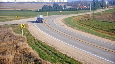
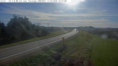
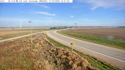
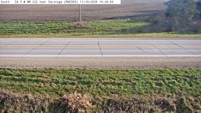

Tucked into the rolling farmland of southeastern Minnesota’s Driftless Area, Canton Township is a place whose character is shaped by deeply cut valleys and the South Branch Root River. Unlike much of the state’s flatter interior, this unglaciated region retains a terrain of ridges, wooded slopes and narrow stream corridors. Agriculture remains central to local life, while the nearby Iowa border underscores the township’s place in the rural Upper Midwest. Browse additional webcams from southeastern Minnesota to extend your view of the Driftless Area.
1 webcam
Forests, prairie and a vast lake country define much of Minnesota – these environments sustain farming, recreation and communities accustomed to long, cold winters. The Mississippi River begins at Lake Itasca in the north, then crosses the state on its way south, while Minnesota’s Lake Superior shoreline brings a markedly different, rocky Great Lakes character to the northeast. Minneapolis and Saint Paul form the Twin Cities on the river, the state’s principal urban centre. Minnesota is also home to Dakota and Ojibwe communities whose cultural presence remains central to the region. Move on to other webcams in the region to compare landscapes and settings around Minnesota.
1.6K webcams
The Atlantic, Pacific and Gulf coasts define much of the United States — their ports, fisheries and trade routes have long tied the country’s economy to the wider world. Between them, the Rocky Mountains, Great Plains and Mississippi River basin form sharply different regions, from high western ranges to broad agricultural heartlands. Cities carry much of the national story: New York’s Statue of Liberty, a gift from France dedicated in 1886, remains an enduring symbol, while Washington, DC concentrates major federal institutions. Indigenous nations have shaped these lands for millennia, and their living cultures remain essential to the country’s identity. Find related webcams in the surrounding areas to build a fuller picture of the United States.
32K webcams