 Bá Hiến: Thành Phố Hà Nội - Vietnam
Built around a coastal peninsula, Vung Tau grew into a southern Vietnamese port city and seaside resort. It stands between the South China Sea and the sheltered waters of Gành Rái Bay, where low hills give the city a distinct form beside the coast. Shipping and offshore petroleum services remain central to its economy alongside tourism. The French called this headland Cap Saint-Jacques, and colonial-era structures remain within a city that expanded rapidly during the 20th century. Vung Tau is also known for the 32-metre Christ of Vung Tau statue on Small Mountain. Beyond the waterfront, broad roads, residential districts and commercial strips reveal the everyday rhythm of this coastal city.
Generated by AI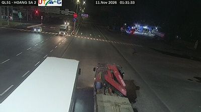
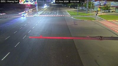
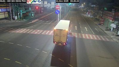


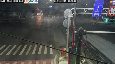


The landscape around Bá Hiến is a low-lying part of the Red River Delta, which has shaped both the settlement pattern and local economy. In Bình Xuyên District, the town sits in Vĩnh Phúc Province, a largely level area north of Hanoi where farming settlements now stand alongside industrial development. The Tam Đảo range rises farther north, marking the province’s transition from delta plain to upland terrain. On its slopes, the Tây Thiên complex is an important Buddhist pilgrimage site, adding a long-standing religious dimension to the wider region. Browse other webcams across Vĩnh Phúc Province to place Bá Hiến in a wider geographic context.
1 webcam
Phú Thọ Province extends from the confluence of the Red and Lô rivers to the forested hills of Vietnam’s northern midlands, encompassing river plains and upland farmland. Viet Trì, the provincial capital, stands at this meeting of waterways and is closely associated with the country’s origin traditions. On Nghĩa Lĩnh Mountain, the Hùng Kings Temple complex is a major pilgrimage site; the Worship of Hùng Kings in Phú Thọ was inscribed on UNESCO’s Representative List of Intangible Cultural Heritage in 2012. Tea-growing areas and cultivation along the rivers give the province a working rural character beyond the city. Find related webcams in surrounding northern Vietnam to build a fuller picture of Phú Thọ Province.
1 webcam
Vietnam has served as a frontier between Chinese and Southeast Asian cultural spheres since the first millennium. This long, narrow country extends from the Red River delta in the north to the Mekong delta in the south, while the Annamite Range forms much of its western spine. Ha Long Bay’s limestone islands contrast with broad rice-growing lowlands. In central Vietnam, Huế was the seat of the Nguyễn dynasty, and Hội An retains the character of a historic trading port shaped by Asian and European commerce. Pho, regional noodle dishes and a lively coffee culture are part of daily life. View additional webcams nearby to better understand how Vietnam relates to the South China Sea and mainland Southeast Asia.
705 webcams