 Busko-Zdroj
Built around its mineral springs, Busko-Zdrój grew into one of Poland’s best-known spa towns. Its resort tradition began in 1836, when the first facilities opened to use local sulphur and iodide-bromide waters. Today, the Spa Park is a leafy centre for walks between sanatoria and period resort buildings, while therapeutic treatment remains central to the town’s identity. The historic Marconi Sanatorium is among its defining landmarks. Busko-Zdrój lies in the Ponidzie region of the Holy Cross Voivodeship, a gently rolling part of south-central Poland associated with the Nida River valley. Calm streets and formal parkland distinguish it from Poland’s larger urban resorts.
Generated by AI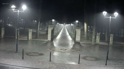
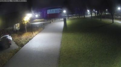
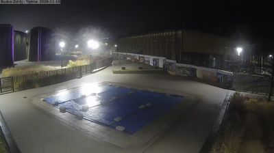

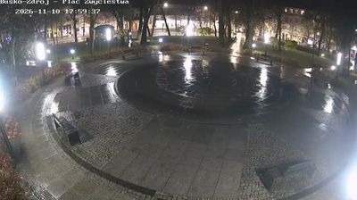



Among the towns of Poland’s Holy Cross Voivodeship, Busko-Zdrój stands out for its long-established sulphur-water spa. Set in the Nida Basin, south of the Świętokrzyskie Mountains, the town has grown around therapeutic mineral springs since the 19th century. The Spa Park remains at its centre, with the Marconi Sanatorium, designed by architect Henryk Marconi, as one of its defining landmarks. Tree-lined paths and resort buildings give Busko-Zdrój a measured, restorative character distinct from Poland’s larger urban centres. Move on to other webcams in Holy Cross Voivodeship to compare spa towns and inland settings around Busko-Zdrój.
9 webcams
The terrain of Holy Cross Voivodeship ranges from the forested Świętokrzyskie Mountains in its north-central belt to the limestone hills and river valleys of the Nida Basin in the south, giving the region a compact but varied inland character. Łysica, at 614 metres, is the highest point of the Świętokrzyskie Mountains, while the Nida flows through a quieter agricultural district. Kielce, the voivodeship capital, is home to the 17th-century Palace of the Kraków Bishops. The Holy Cross monastery on Łysa Góra gave the region its name and remains a defining spiritual landmark. Continue with other webcams from the area to see how this part of south-central Poland connects regionally.
20 webcams
Poland stretches from the Baltic Sea coast in the north to the Carpathian Mountains along its southern frontier, encompassing broad lowlands, lake districts and upland ranges. The Vistula, the country’s longest river, links Kraków and Warsaw before reaching the Baltic near Gdańsk, while the Masurian Lake District is defined by a dense network of lakes. Kraków’s historic centre, including Wawel Castle, recalls Poland’s former royal capital; Warsaw’s rebuilt Old Town speaks to the city’s recovery after the Second World War. The Białowieża Forest preserves one of Europe’s last primeval lowland forests and is home to European bison. Follow how Poland’s regions relate to one another by browsing webcams across the country.
716 webcams