 Brezovica: R2-409 - Vrhnika
Built around the road corridor between Ljubljana and Vrhnika, Brezovica grew into a suburban settlement on the Slovenian capital’s south-western edge. It stands beside the Ljubljana Marshes, a broad lowland wetland south of the city; wooded ground rises farther west along the rim of the Ljubljana Basin. Brezovica is the administrative centre of its municipality and remains connected to Ljubljana by road and railway. The parish church of St Anthony the Hermit is a local landmark. Its main street has the practical rhythm of a commuter community, where houses, services, pedestrian crossings and through traffic occupy a compact strip of development. Brezovica places everyday suburban life close to one of central Slovenia’s defining wetland areas.
Generated by AI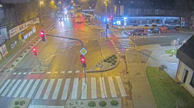
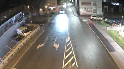
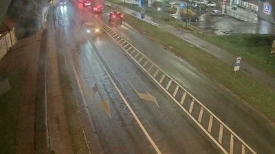
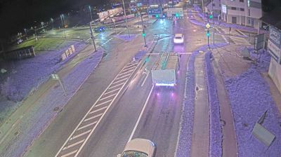

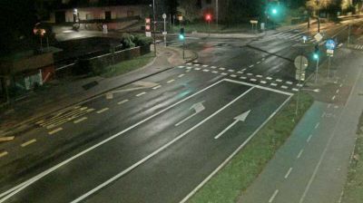
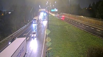

Brezovica has served as a rural settlement on the northern edge of the Ljubljana Marshes in central Slovenia since the Middle Ages. Just south-west of Ljubljana, it stands where the flat, water-shaped basin of Ljubljansko barje meets the capital’s outer suburbs. The Ljubljanica River crosses this protected wetland area, marked by meadows, drainage channels and seasonal birdlife. The wider marshes also preserve prehistoric pile-dwelling sites included in UNESCO’s Prehistoric Pile Dwellings around the Alps listing. Brezovica provides a useful local base for routes into Ljubljana and across the marshland. Explore nearby webcam locations that provide complementary perspectives on Brezovica and the Ljubljana Marshes.
4 webcams
Upravna Enota Ljubljana stretches from the Sava River to the wooded Dinaric foothills south of the capital, encompassing the lowlands of the Ljubljana Basin and the city’s suburban fringe. At its centre lies Ljubljana, Slovenia’s political and cultural capital, arranged along the Ljubljanica River. The riverfront is defined by the Triple Bridge and the Central Market, both closely associated with architect Jože Plečnik, while Ljubljana Castle stands on the hill above the old town. Beyond the urban core, settlements, farmland and forest connect the basin with karst country to the south. Explore nearby webcam locations that provide complementary perspectives on Ljubljana and central Slovenia.
67 webcams
Slovenia occupies a meeting point of the Alps, the Pannonian Plain, the Dinaric mountains and the Adriatic coast in south-central Europe. The Julian Alps rise in the northwest, where Triglav is the country’s highest mountain, while the Soča River is known for its clear turquoise water. Karst terrain has shaped caves such as Postojna Cave and the Škocjan Caves, a UNESCO World Heritage site. Ljubljana combines a riverside old town with works by architect Jože Plečnik; farther east, wine-growing regions and thermal springs add another dimension. Slovenian food reflects Alpine, Mediterranean and Balkan influences. Find related webcams in the surrounding area to build a fuller picture of Slovenia and the northern Adriatic.
768 webcams