 Brenneriroa: Stabekken
The rolling woodland-and-farmland belt east of Lake Mjøsa defines the setting of Brenneriroa — low rises, conifer stands and broad road verges give this part of Innlandet a distinctly rural character. At Stabekken, Norwegian National Road 3 runs through terrain associated with Romedal, an area of Stange municipality where farming and forest meet. RV3 is one of the principal road links from the Oslo region towards Østerdalen and Trondheim, giving the route an importance beyond its quiet roadside surroundings. Its engineered alignment, with separated traffic lanes, barriers and embankments, illustrates the practical transport infrastructure that crosses inland Norway. Brenneriroa lies east of Lake Mjøsa, Norway’s largest lake, in the broad interior of southeastern Norway.
Generated by AI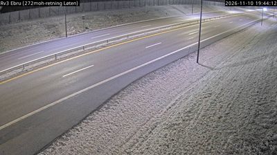
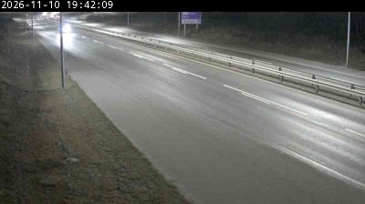


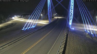




Developed amid the farm country of Løten, Brenneriroa grew into a small locality in Norway’s Innlandet region. It lies east of Lake Mjøsa, in an inland setting where cultivated fields meet broad woodland, far from the country’s coastal fjord districts. The wider Løten area is associated with aquavit production, and the former Løiten Brænderi recalls a distilling tradition that has long shaped the municipality’s identity. Brenneriroa provides an introduction to the quieter rural character of southeastern Norway. Continue through nearby webcams to explore different parts of Innlandet.
1 webcam
Among the regions of Norway, Innlandet stands out for its broad inland sweep of lakes, forests and mountain valleys. Lake Mjøsa, Norway’s largest lake, forms an important southern focal point, while the Gudbrandsdalen valley follows the Lågen north towards higher country. Lillehammer gives the area an international reference point: it hosted the 1994 Winter Olympics, and its Maihaugen open-air museum presents buildings and everyday traditions from across Norway. Farther north, Rondane National Park protects a high-mountain landscape associated with wild reindeer. This is a region of farms, timber country and transport routes linking Oslo with central Norway. Browse additional webcams from the surrounding area to extend your view of Innlandet.
178 webcams
Norway has served as a seafaring link between the North Atlantic and northern Europe since the Viking Age. Its long coastline is cut by fjords, while the Lofoten archipelago rises sharply from the Norwegian Sea and the mountains of Jotunheimen include Galdhøpiggen, Norway’s highest peak. Bergen’s Bryggen, the former Hanseatic wharf, recalls centuries of maritime trade. Farther north, Sámi culture remains an essential part of the country’s identity. Explore nearby webcam locations that provide complementary perspectives on Norway’s coast, fjords and mountain regions.
1.5K webcams