 Brena Alta
Breña Alta lies along La Palma’s eastern volcanic slope, where homes and small farms rise across rugged ground toward the island’s central highlands. The municipality stands just south of Santa Cruz de La Palma on the Atlantic-facing side of the island, while its settlement pattern remains largely rural beyond the built-up centre. Cultivation has long shaped these slopes and continues to form part of the local economy. The parish church of San Pedro Apóstol anchors Breña Alta’s historic centre. La Palma as a whole is recognized by UNESCO as a Biosphere Reserve, and roads through Breña Alta connect higher terrain with the settled eastern side of this volcanic Canary Island.
Generated by AI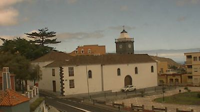

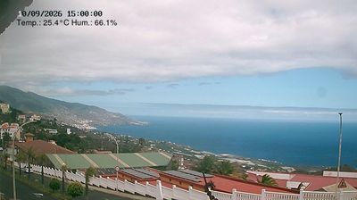

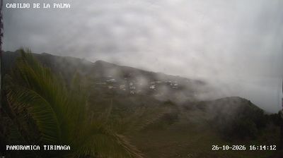
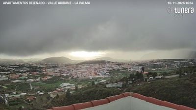
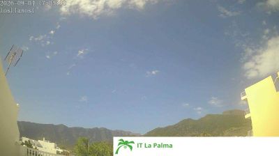
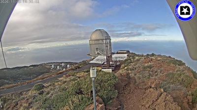
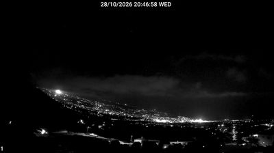
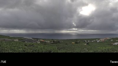

Brena Alta (Breña Alta) follows the eastern slopes beneath the Cumbre Nueva ridge on La Palma in the Canary Islands, a setting that has shaped it into a settled, cultivated belt above the island’s capital, Santa Cruz de La Palma. Its municipal centre, San Pedro, is marked by the parish church of San Pedro Apóstol. The Museo del Puro Palmero records La Palma’s tobacco and hand-rolled cigar tradition, an enduring part of the island’s rural economy. Forested uplands rise toward the ridge, while the Atlantic lies beyond the developed eastern coast. View additional webcams nearby to better understand how Breña Alta relates to the slopes of La Palma.
3 webcams
The Canary Islands have served as an Atlantic crossroads within Spain since the fifteenth century. This volcanic archipelago lies off northwestern Africa, where the Atlantic Ocean, trade winds and sharply varying terrain shape climates ranging from dry coasts to cool uplands. Tenerife is home to Mount Teide, Spain’s highest peak, while the Teide National Park is a UNESCO World Heritage Site. Across the islands, black-sand shores, lava fields and cultivated slopes reflect their volcanic origins. Carnival traditions, especially those of Santa Cruz de Tenerife, remain an important part of the local calendar. View additional webcams nearby to better understand how the Canary Islands relate to the Atlantic and to one another.
73 webcams
Spain extends from the Cantabrian coast to the Canary Islands, encompassing Atlantic shores, Mediterranean beaches and the broad interior Meseta. The Pyrenees form its northeastern frontier, while the Guadalquivir crosses Andalusia on its way to the Atlantic. Madrid anchors the country’s political and cultural life, but distinct regional identities are central to Spain’s character: Catalonia, the Basque Country, Galicia and Andalusia each have their own languages or strong local traditions. Granada’s Alhambra is a major monument of the medieval Nasrid dynasty, and Santiago de Compostela remains the destination of the Camino de Santiago. Browse related webcams around the Iberian Peninsula to build a fuller picture of Spain.
1.4K webcams