 Bray-Dunes: Mer Est
The North Sea defines the setting of Bray-Dunes — its broad sandy shore, dune belt and low, open coastline shape a resort town at France’s northern edge. The commune stands in French Flanders on the Belgian border, immediately west of De Panne, and is the northernmost municipality in metropolitan France. A long waterfront promenade and modern apartment blocks line the beach, while protected dunes continue around the built-up centre. Sand ridges and wet hollows form a coastal habitat shaped by wind and the sea. Bray-Dunes has the direct character of a seaside town, with its beach and cross-border position central to local life.
Generated by AI
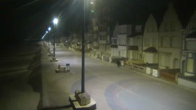








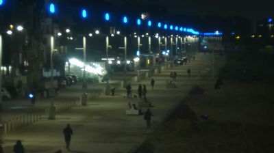

Tucked along the North Sea coast beside the Belgian border, Bray-Dunes is a town whose character is shaped by the broad sandy dunes of French Flanders. It is France’s northernmost commune, where the beach meets dune systems extending toward Belgium and the Dune Marchand National Nature Reserve. Created as a separate commune in 1883, Bray-Dunes takes its name from Alphonse Bray, a Dunkirk shipowner associated with its early development. Its streets and seafront belong to the low, open coastal plain rather than the denser urban waterfronts around nearby Dunkirk. Continue through nearby webcams to explore different parts of the French Flanders coast.
8 webcams
Formed through the 2016 merger of Nord-Pas-de-Calais and Picardy, Hauts-de-France became an administrative region spanning France’s northern frontier. The Somme crosses its broad, low-lying interior before reaching the English Channel, while the Opal Coast brings dunes, cliffs and busy Channel ports to the west. Around Albert and Péronne, cemeteries and memorials preserve the memory of the 1916 Battle of the Somme. Amiens, the regional capital, is marked by the Gothic Cathedral of Notre-Dame, a UNESCO World Heritage site. Lille adds a major urban and cultural centre close to Belgium. Continue with other webcams from the area to see how this part of northern France connects regionally.
78 webcams
The Atlantic and Mediterranean coastlines, together with the Alps, Pyrenees and broad river basins, define much of France — they support maritime trade, farming, wine regions and travel throughout the year. The Seine runs through Paris, where the Eiffel Tower and the Louvre are among Europe’s most recognised landmarks. The Loire Valley is known for Renaissance châteaux, while Mont-Saint-Michel rises from a tidal bay in Normandy. Regional food traditions are equally distinctive, from Breton seafood to Provençal cooking, with bread, cheese and wine central to everyday life. France’s global cultural influence is evident in its language, literature, fashion and cinema. View additional webcams nearby to better understand how France’s coasts, plains and mountain borders relate to their surroundings.
2.1K webcams