 Bratislava: Diaľnica D2/E65 Lamac, view in the direction of Tunel Sitina
Bratislava is best known within Slovakia for its status as the national capital on the Danube. The Sitina Tunnel forms part of the D2 motorway beneath the wooded western slopes of the Little Carpathians. Its adjoining junction channels traffic between Lamač, Patrónka and the city centre, showing how a major north–south road route meets Bratislava’s hilly edge. The Danube has long shaped the city as a river port and a capital close to Austria and Hungary. Bratislava Castle, a landmark with medieval origins, stands on the hill above the historic centre. This stretch of the city differs sharply from the riverside old town: motorways, service areas and ramps lie immediately beside forested ground.
Generated by AI


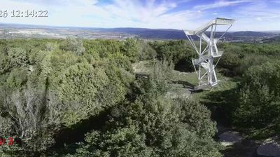

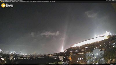
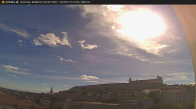


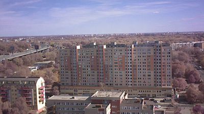

Bratislava occupies a stretch of the Danube’s left bank beneath the Little Carpathians in the Bratislava Region. Slovakia’s capital stands close to the Austrian and Hungarian borders, giving it a distinctly Central European setting. Bratislava Castle rises above the river on a prominent hill, while the compact Old Town preserves lanes, squares and former townhouses. St Martin’s Cathedral was the coronation church of the Kingdom of Hungary from 1563 to 1830, recalling the city’s former political importance. Across the Danube, the SNP Bridge is marked by its saucer-shaped observation structure. Continue through nearby webcams to explore different parts of Bratislava and the Danube corridor.
14 webcams
The Region of Bratislava is best known within Slovakia for Bratislava Castle, the landmark above the Danube that crowns the national capital. It brings together the country’s political centre and a varied hinterland extending toward the Little Carpathians, where vineyards and small wine towns set a slower rhythm. Bratislava’s old town preserves the compact core of a city that served as the coronation site for Hungarian kings and queens between 1563 and 1830. The Danube connects the region with Central European river routes, while theatres, museums and cafés sustain its active urban life. Discover other points of interest through webcams located across the Bratislava Region.
25 webcams
Slovakia is best known internationally for the High Tatras, whose granite summits form the country’s most celebrated mountain landscape. Gerlachovský štít, at 2,655 metres, is the highest peak in Slovakia and in the Carpathians. The Danube runs past Bratislava, where Bratislava Castle stands on a hill above the river, linking the capital to Central Europe’s major waterway. Beyond the cities, forests, karst terrain and small historic towns define much of the country. Slovakia’s long folk tradition is also represented by the fujara, a large shepherd’s flute recognised by UNESCO. Browse additional webcams from the surrounding area to extend your view of the High Tatras and the Danube region.
282 webcams