 Branisov: Koráb, pohled na Kdyni
Koráb sits in the foothills of the Bohemian Forest in western Czechia, where wooded slopes meet the open, farmed country around Kdyně. Rising to 773 metres, the hill is a popular local excursion point above Chodsko, a region associated with distinctive folk costumes, bagpipe music and borderland traditions. Its summit area includes the Koráb lookout tower and restaurant, while the terrain below alternates between fields, scattered settlements and broad forest belts. This is a working rural landscape rather than remote mountain country, with higher ground revealing the rolling character of western Bohemia.
Generated by AI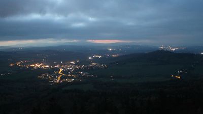
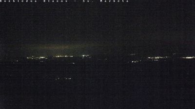
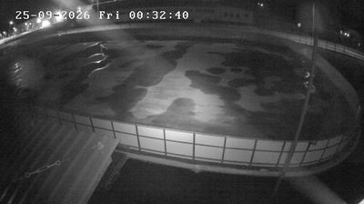
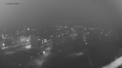

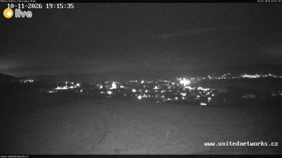

The landscape around Branišov is a gently rolling mix of farmland and woodland on the edge of the České Budějovice Basin, which has shaped both settlement patterns and agriculture in this part of South Bohemia. The village stands close to České Budějovice, the regional capital on the Vltava River, where the Malše joins the Vltava. České Budějovice was founded as a royal town in 1265 and is known internationally for Budweiser Budvar beer, brewed there since the 19th century. Branišov provides a useful reference point for the quieter agricultural country surrounding the city. Move on to other webcams in the South Bohemian Region to compare landscapes and settings around Branišov.
1 webcam
South Bohemian Region occupies a broad southern stretch of Bohemia in Czechia, reaching from the Šumava Mountains near Austria to the lowlands around České Budějovice. The Vltava flows north through this region, while the Třeboň area is renowned for its centuries-old network of fishponds and carp farming. Český Krumlov, set in a bend of the Vltava, is a UNESCO World Heritage Site known for its historic centre and castle complex. The regional capital, České Budějovice, is also home to the Budweiser Budvar brewery. Browse additional webcams from the surrounding area to extend your view of South Bohemia.
105 webcams
The terrain of Czechia ranges from fertile lowlands in southern Moravia to mountain ridges along the northern frontier, giving this Central European country a distinctly varied geography. The Vltava runs through Prague before joining the Elbe, while the Krkonoše form part of the border with Poland and include Sněžka, Czechia’s highest mountain. Prague’s historic centre, with Prague Castle and Charles Bridge, reflects the city’s long role as a political and cultural centre. Beyond the capital, Bohemia is known for spa towns and brewing, and Moravia for wine-growing traditions. View additional webcams nearby to better understand how Czechia relates to its Central European surroundings.
1.4K webcams