 Bozeman
 has served as a regional market center in southwest Montana since the 1860s. Set in the Gallatin Valley, the city lies between the Bridger Range to the north and the Gallatin Range to the south, while the Gallatin River crosses the broader valley west of downtown. Montana State University, founded in 1893 as the state’s agricultural college, anchors an important part of local life and research. Its campus includes Bobcat Stadium, home field of the Montana State Bobcats. The city’s name recalls John Bozeman, who helped establish the settlement in 1864. Bozeman has developed from an agricultural community into a university city extending across the valley floor toward the surrounding Rocky Mountains.
Generated by AI
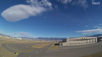
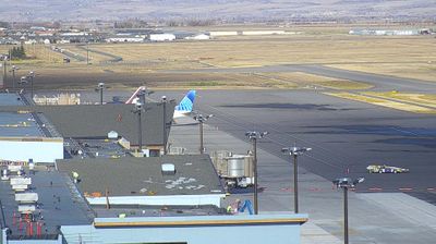

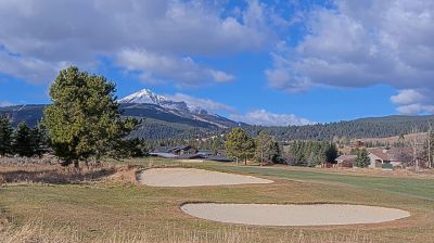

Among the cities of Montana, Bozeman stands out for its setting in the Gallatin Valley, between the Bridger and Gallatin mountain ranges. The city is home to Montana State University, founded in 1893, and to its Museum of the Rockies, where dinosaur fossils and regional history are central to the collections. Bozeman began in 1864 and developed as a supply point on the route known as the Bozeman Trail. Today, its compact downtown of early commercial buildings and independent businesses gives the university city an active civic centre, while the surrounding valley leads toward mountain country and the Gallatin River. Continue through nearby webcams to explore different parts of Bozeman and the Gallatin Valley.
4 webcams
Montana extends from the Rocky Mountains in the west to the Great Plains along its eastern border, encompassing high ranges, wide river valleys and open prairie. The Missouri River crosses the state’s centre, beginning near Three Forks where the Jefferson, Madison and Gallatin rivers meet. Glacier National Park protects a dramatic section of the northern Rockies, while Little Bighorn Battlefield National Monument commemorates the 1876 battle between U.S. forces and Lakota and Cheyenne warriors. Ranching, tribal nations and long-distance rail corridors remain central to Montana’s identity. Find related webcams across the surrounding states to build a fuller picture of Montana.
43 webcams
The Atlantic, Pacific and Gulf coasts define much of the United States — their ports, fisheries and trade routes have long tied the country’s economy to the wider world. Between them, the Rocky Mountains, Great Plains and Mississippi River basin form sharply different regions, from high western ranges to broad agricultural heartlands. Cities carry much of the national story: New York’s Statue of Liberty, a gift from France dedicated in 1886, remains an enduring symbol, while Washington, DC concentrates major federal institutions. Indigenous nations have shaped these lands for millennia, and their living cultures remain essential to the country’s identity. Find related webcams in the surrounding areas to build a fuller picture of the United States.
32K webcams