 Bow
Built around farms beside the Merrimack River, Bow grew into a largely residential New Hampshire town between Concord and Manchester. Its name is associated with the broad bend, or “bow,” of the Merrimack, which forms much of the town’s eastern edge. Interstate 93 runs through Bow, placing the community on a principal north–south corridor in central New Hampshire; Interstate 89 joins I-93 just north of town. Wooded slopes, scattered homes and open land remain integral to the setting beyond the highway. Settled in 1727, Bow retains the civic traditions of a New England town while sharing close ties with nearby Concord, the state capital.
Generated by AI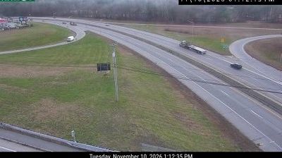

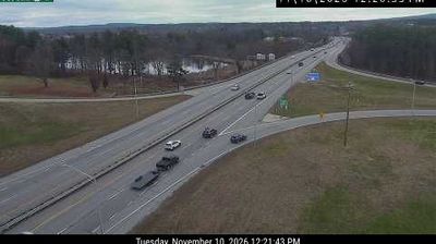
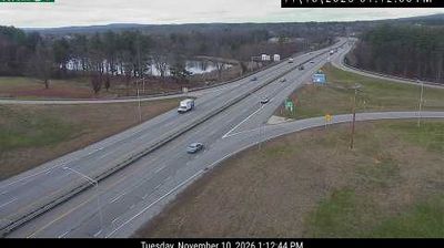

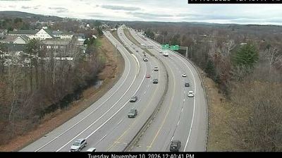
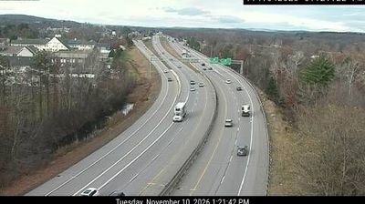
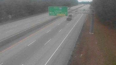
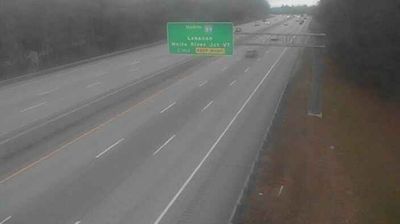
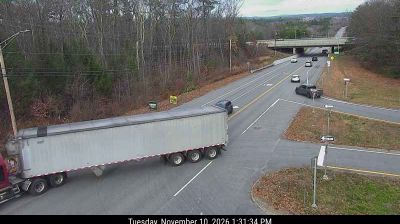

Bow is best known within New Hampshire for Merrimack Station, the power plant long associated with the town’s riverfront. In Merrimack County, just south of Concord, Bow occupies wooded terrain beside the Merrimack River, which follows much of its eastern edge. Incorporated in 1763, the town has developed around residential neighborhoods, local roads and civic facilities rather than a dense urban centre. Its position in the Concord area makes Bow a useful base for following the river corridor and exploring central New Hampshire. Browse additional webcams from the surrounding area to extend your view of Bow and the Merrimack River valley.
8 webcams
New Hampshire occupies a mountainous inland position in the northeastern United States. The White Mountains define much of its northern character, culminating at Mount Washington, whose summit is famed for severe and rapidly changing weather. Southward, the Merrimack River links former mill cities including Manchester and Nashua, while Lake Winnipesaukee anchors the Lakes Region with wooded shores and island-dotted water. The state’s compact scale brings ski country, forest roads, historic seaports and New England town centres within reach of one another. Granite quarrying helped give New Hampshire its familiar nickname, the Granite State. Discover other points of interest through webcams located across New Hampshire.
328 webcams
The Atlantic, Pacific and Gulf coasts define much of the United States — their ports, fisheries and trade routes have long tied the country’s economy to the wider world. Between them, the Rocky Mountains, Great Plains and Mississippi River basin form sharply different regions, from high western ranges to broad agricultural heartlands. Cities carry much of the national story: New York’s Statue of Liberty, a gift from France dedicated in 1886, remains an enduring symbol, while Washington, DC concentrates major federal institutions. Indigenous nations have shaped these lands for millennia, and their living cultures remain essential to the country’s identity. Find related webcams in the surrounding areas to build a fuller picture of the United States.
32K webcams