 Bombowlee: Leongatha - YLEG -> SE
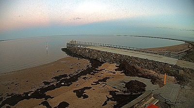
The Strzelecki Ranges define the setting of the Korumburra district in South Gippsland — rolling foothills and productive pasture give this inland part of Victoria a strongly agricultural character. These coordinates lie south of Korumburra, a long-established regional service town where dairy farming has long supported the local economy. South Gippsland extends from these hills towards the Bass Strait coast, with small settlements and country roads connecting its working farmland. Korumburra’s coal-mining past is interpreted at Coal Creek Community Park and Museum, while the Great Southern Rail Trail follows the former railway corridor through town. This is a settled rural part of Gippsland rather than an urban centre.
Generated by AI


Among the rural localities of New South Wales, Bombowlee stands out for its setting in the Tumut River valley, where farmland meets the lower approaches to the Snowy Mountains. It lies just north of Tumut, a service town shaped by grazing, horticulture and the timber industry rather than a built-up destination in its own right. The river corridor belongs to the wider catchment influenced by the Snowy Mountains Scheme, Australia’s major hydroelectric and irrigation project; the scheme’s Tumut power stations are farther upstream. Roads through the district link the settled valley with forested country towards Kosciuszko National Park. Explore nearby webcam locations that provide complementary perspectives on Bombowlee, Tumut and the Snowy Mountains foothills.
2 webcams
New South Wales is widely known within Australia for Sydney Harbour, home to the Sydney Opera House and the Sydney Harbour Bridge. The state extends from the Pacific coastline across the Great Dividing Range to wide inland plains within the Murray–Darling Basin. Sydney is Australia’s largest city and a major centre for finance, arts and international travel, while inland districts are strongly associated with farming and long distances between towns. The Blue Mountains, west of Sydney, form part of a UNESCO World Heritage area of eucalyptus forests, sandstone escarpments and deep valleys. View additional webcams nearby to better understand how New South Wales relates to its coast, ranges and inland country.
505 webcams
Australia’s terrain extends from tropical rainforests in the northeast to arid plains in the interior, producing dramatic climatic contrasts. The Great Dividing Range follows much of the eastern coast, while the Great Barrier Reef lies off Queensland in the Coral Sea and Uluru rises from the central desert. Aboriginal and Torres Strait Islander peoples maintain living cultures whose connections to Country long predate European settlement. In Sydney, the sail-like Opera House, completed in 1973, stands beside one of the world’s best-known harbours. Discover further points of interest through webcams located across Australia.
1.7K webcams