 Blackwood: Johnson Lake Road Southeast - Highway 53
Blackwood has served as a roadside junction in northwestern Georgia since the twentieth century. The meeting of Highway 53 and Johnson Lake Road Southeast lies in Gordon County, on Calhoun’s developed edge, where a broad divided state route handles both local and through traffic. Access roads, commercial sites and wide road verges give the area an emphatically automobile-oriented character rather than that of a traditional town centre. This part of Georgia belongs to the Ridge-and-Valley Appalachians, a belt of long, low ridges and intervening valleys. Calhoun, the Gordon County seat, developed along the Western & Atlantic Railroad during the nineteenth century; its historic centre lies south of this road corridor.
Generated by AI
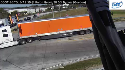

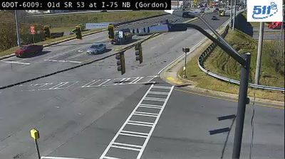
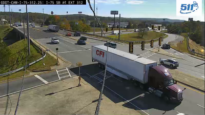
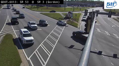
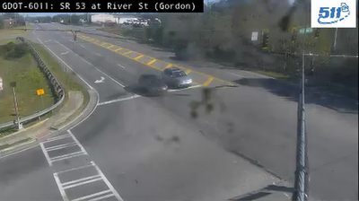
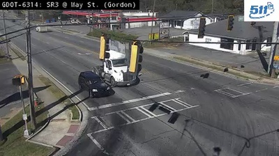
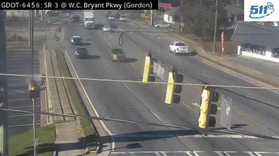

Among the small communities of northwest Georgia, Blackwood stands out for its position in the Ridge and Valley Appalachians, where long wooded ridges alternate with working farmland. It lies in Gordon County, a rural stretch of the state between the Blue Ridge to the east and the Appalachian Plateau farther west. The Oostanaula River flows through the county on its way toward Rome, while local roads follow the valleys rather than a dense urban grid. The wider area also carries an important Cherokee history: New Echota, the 19th-century capital of the Cherokee Nation, is preserved nearby as a state historic site. Continue with other webcams from northwest Georgia to see how this part of the Appalachians connects regionally.
3 webcams
The terrain of Georgia ranges from the Blue Ridge Mountains in the north to the low, sandy Atlantic Coastal Plain in the south and east, creating a state of sharply varied landscapes. The Chattahoochee River follows much of the Alabama border, while the Savannah River forms much of the boundary with South Carolina before reaching the Atlantic. Atlanta is closely linked to the US civil rights movement and includes the Martin Luther King Jr. National Historical Park. On the coast, barrier islands and salt marshes frame Savannah, whose historic district is recognised for its network of public squares. Explore related webcams in the surrounding area to build a fuller picture of Georgia.
2.9K webcams
The Atlantic, Pacific and Gulf coasts define much of the United States — their ports, fisheries and trade routes have long tied the country’s economy to the wider world. Between them, the Rocky Mountains, Great Plains and Mississippi River basin form sharply different regions, from high western ranges to broad agricultural heartlands. Cities carry much of the national story: New York’s Statue of Liberty, a gift from France dedicated in 1886, remains an enduring symbol, while Washington, DC concentrates major federal institutions. Indigenous nations have shaped these lands for millennia, and their living cultures remain essential to the country’s identity. Find related webcams in the surrounding areas to build a fuller picture of the United States.
32K webcams