 Bily Potok
The landscape around Smědava is a high, forested plateau of spruce and open mountain meadows, which has shaped both the built environment and local life. This small mountain settlement belongs to the municipality of Bílý Potok in the Jizera Mountains of northern Czechia, close to the headwaters of the Smědá River. Its position within the Jizera Mountains Protected Landscape Area keeps settlement sparse and gives the area a distinctly upland character. The Horská chata Smědava mountain lodge forms a focal point here, while marked walking and cycling routes link the hamlet with the wider mountain network. Smědava is defined less by an urban centre than by broad clearings, dense conifer woodland and its role as a practical starting point for exploring the Jizera Mountains.
Generated by AI



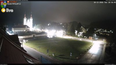
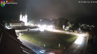
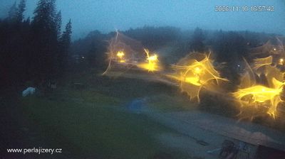


The landscape around Bílý Potok is a narrow, forested valley beneath the Jizera Mountains, which has shaped both its dispersed settlement and long association with forestry. The Smědá River runs through the municipality, while Smrk, at 1,124 metres the highest summit in the Czech part of the range, rises nearby. Bílý Potok is a recognised base for walking and cycling routes into the Jizera Mountains, including routes towards Smrk and the mountain’s lookout tower. Its railway terminus connects the valley with Frýdlant and the wider Liberec region. Explore nearby webcam locations that provide complementary perspectives on the Jizera Mountains and the Frýdlant foothills.
2 webcams
Liberec Region is best known in Czechia for Ještěd, the mountain above Liberec crowned by its unmistakable hotel and television tower. In the country’s north, the region reaches from the Jizera Mountains towards the Krkonoše and Lusatian Mountains, while the Nisa River runs through Liberec and continues north into Poland and Germany. Liberec, the regional capital, developed as an important textile-manufacturing centre; its 19th-century Town Hall remains one of the city’s defining buildings. Borderland geography gives the area a distinctly Central European character, with mountain resorts, forest roads and historic towns close together. Browse additional webcams from the surrounding area to extend your view of Liberec Region.
110 webcams
The terrain of Czechia ranges from fertile lowlands in southern Moravia to mountain ridges along the northern frontier, giving this Central European country a distinctly varied geography. The Vltava runs through Prague before joining the Elbe, while the Krkonoše form part of the border with Poland and include Sněžka, Czechia’s highest mountain. Prague’s historic centre, with Prague Castle and Charles Bridge, reflects the city’s long role as a political and cultural centre. Beyond the capital, Bohemia is known for spa towns and brewing, and Moravia for wine-growing traditions. View additional webcams nearby to better understand how Czechia relates to its Central European surroundings.
1.4K webcams