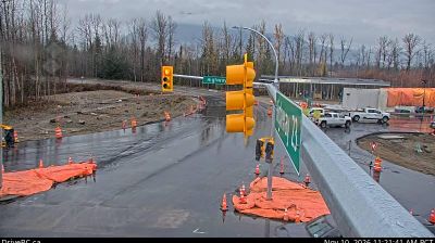
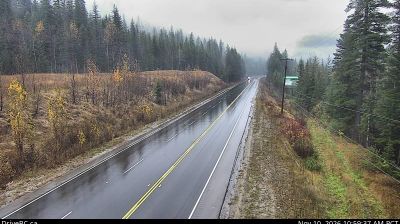
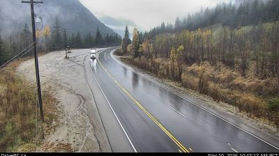
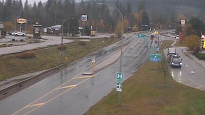
 Big Eddy Settlement: Highway 1 about 4 km west of Revelstoke, looking east
Big Eddy Settlement lies along the Columbia River valley, where Highway 1 follows a forested corridor through the Columbia Mountains near Revelstoke. This small roadside community belongs to British Columbia’s interior, a region shaped by the river, steep wooded terrain and long-distance transport routes. The Trans-Canada Highway is the principal overland link between Kamloops to the west and Golden to the east. Nearby Revelstoke grew around the Canadian Pacific Railway and remains a service centre for the surrounding mountain country. Big Eddy is defined less by urban development than by evergreen forest, scattered homes and the steady movement along the provincial highway.
Generated by AI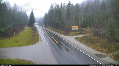
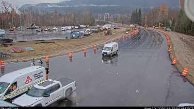
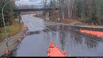
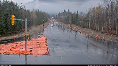


Tucked along the Saskatchewan River near The Pas in northwestern Manitoba, Big Eddy Settlement is a place whose character is shaped by the broad river corridor and boreal lowlands of Canada’s interior. Waterways have long connected communities in this part of Manitoba, where Cree culture remains an important presence through neighbouring Opaskwayak Cree Nation. The nearby town of The Pas developed as a fur-trade centre around Fort Paskoya, established in 1741. Forest, wetlands and the river define this lightly settled setting more than urban density, while local roads link it with The Pas and the wider north. Discover how Big Eddy Settlement belongs within the Saskatchewan River region by browsing webcams from nearby communities.
11 webcams
Manitoba occupies a broad central belt in Canada. Prairie farmland in the south gives way to boreal forest, the rocky Canadian Shield and a long Hudson Bay coast in the north. Lake Winnipeg, one of Canada’s largest freshwater lakes, is a defining feature, while major rivers including the Nelson drain toward Hudson Bay. Winnipeg, the provincial capital, stands at the meeting of the Red and Assiniboine rivers; The Forks there has long been an important gathering and trading place. Manitoba’s communities reflect enduring First Nations, Métis and Inuit connections alongside its settler history. View additional webcams nearby to better understand how Manitoba relates to the Canadian interior and Hudson Bay.
23 webcams
Canada has served as a frontier between French and British colonial powers since the 17th century. The world’s second-largest country extends from Atlantic shores to the Pacific and Arctic coasts, with the Canadian Shield, the Rocky Mountains, the Great Lakes and the St. Lawrence River shaping its vast geography. First Nations, Inuit and Métis peoples are central to Canada’s identity, while Ottawa’s Parliament Hill represents its federal political life. French remains the official language of Quebec, adding a distinct dimension to the country’s public culture. See how Canada connects across North America by browsing webcams in neighbouring regions.
3.5K webcams