 Bielsa
The Cinca River defines the setting of Bielsa — its headwater valley, Pineta, runs into the Spanish Pyrenees between steep, forested slopes. This small Aragonese mountain community lies close to the French border and Ordesa y Monte Perdido National Park, whose protected valleys form a defining part of the central Pyrenees. Pineta is the park’s eastern valley, shaped by glacial erosion and enclosed by the limestone massif of Monte Perdido. The area is a base for walkers and mountaineers, while Bielsa retains the practical character of a high-valley settlement. Its Carnival is a notable local tradition, with masked figures including the Tranga and Madama. Campsites and modest visitor facilities line the valley floor below the mountain woodland.
Generated by AI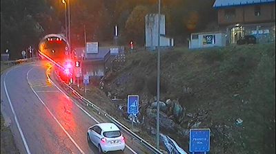
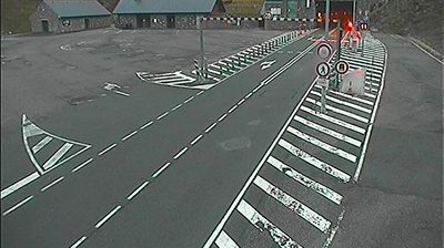





Few cities in Aragon have a history as closely tied to Republican resistance in the Spanish Civil War as Bielsa. This Pyrenean settlement lies where the Cinca and Barrosa rivers meet, surrounded by the steep valleys and high ridges of Huesca province. In 1938, the area became the scene of the Bolsa de Bielsa, a final Republican-held pocket whose civilians and troops crossed the mountains into France. Bielsa is also known for its winter Carnival, when costumed characters including the fearsome trangas and elegant madamas take to the streets. The Pineta Valley, below the Monte Perdido massif, begins nearby. Browse other webcams across Aragon’s Pyrenean valleys to place this setting in a wider geographic context.
2 webcams
Aragon combines the dry plains of the Ebro basin with high Pyrenean terrain in a way that reflects its position between central Spain and the French border mountains. Zaragoza, the regional capital on the Ebro River, is anchored by the Basilica of Our Lady of the Pillar and the Aljafería Palace, a major example of Islamic architecture in Spain. Beyond the city, the region extends from cultivated lowlands to the Pyrenees, where valleys and protected mountain areas shape a markedly different climate and settlement pattern. Aragonese identity is also expressed through distinctive Mudéjar architecture, recognised by UNESCO in several towns. Continue with other webcams from the area to see how this part of northeastern Spain connects regionally.
46 webcams
Spain extends from the Cantabrian coast to the Canary Islands, encompassing Atlantic shores, Mediterranean beaches and the broad interior Meseta. The Pyrenees form its northeastern frontier, while the Guadalquivir crosses Andalusia on its way to the Atlantic. Madrid anchors the country’s political and cultural life, but distinct regional identities are central to Spain’s character: Catalonia, the Basque Country, Galicia and Andalusia each have their own languages or strong local traditions. Granada’s Alhambra is a major monument of the medieval Nasrid dynasty, and Santiago de Compostela remains the destination of the Camino de Santiago. Browse related webcams around the Iberian Peninsula to build a fuller picture of Spain.
1.4K webcams