 Bergshamra: Tpl - norra
Brunnsviken defines the setting of Bergshamra — this northern Solna district rises from the lake’s wooded shore towards major Stockholm approach roads and post-war housing. Immediately north of Stockholm’s inner city, Bergshamra combines residential streets with the E18, known here as Norrtäljevägen, a principal route towards the Roslagen coast. The district borders the Royal National City Park, an extensive protected urban parkland of woods, water and historic royal landscapes around Brunnsviken. Bergshamra’s character comes from the close meeting of metropolitan infrastructure, exposed bedrock and mature woodland, while the red-line metro links the area with central Stockholm.
Generated by AI
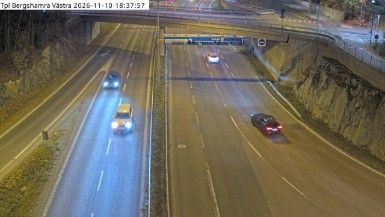
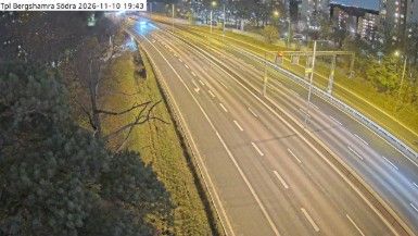
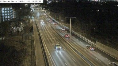


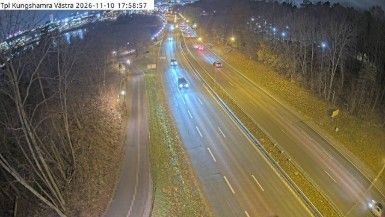
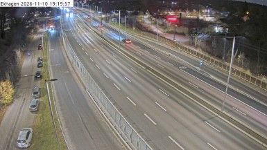
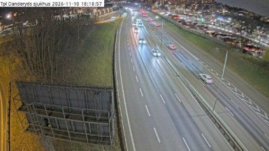

Bergshamraviken, an inlet on the Baltic Sea, defines the setting of Bergshamra — its protected waters give this small Roslagen community in Stockholm County a maritime orientation. The settlement occupies a mainland shore within a coast of wooded islands, coves and channels, part of the wider Stockholm archipelago rather than the capital’s urban core. Summer boating and time on the water shape the local seasonal rhythm. Sweden’s allemansrätten, the customary right of responsible public access to the countryside, is a national tradition that matters on coasts like this. View additional webcams nearby to better understand how Bergshamra relates to the Roslagen coast and archipelago.
17 webcams
Stockholm County's terrain runs from dense urban lowlands around Stockholm in the west to wooded granite islands of the Baltic archipelago in the east, bringing city neighbourhoods and open water into close proximity. Lake Mälaren reaches the Baltic through central Stockholm, while ferries link the capital with islands farther out to sea. Gamla Stan, Stockholm’s historic core, occupies islands between the lake and the sea, and its streets lead to the Royal Palace. Vaxholm Fortress, beside a key water route toward the capital, recalls the archipelago’s strategic importance. Find related webcams in the surrounding area to build a fuller picture of Stockholm County.
321 webcams
Sweden combines Baltic coastal life with Arctic expanses in a way that reflects its position within northern Europe. Forests, lakes and long shorelines define much of the country, from Lake Vänern in the south to the Gulf of Bothnia and the mountains along the Norwegian border. Stockholm spreads across islands where Lake Mälaren meets the Baltic Sea, while the preserved 17th-century warship at the Vasa Museum recalls Sweden’s era as a major European power. Midsummer celebrations and the traditions of the Sámi people add further depth to its regional identity. Browse other webcams across Sweden to place this setting in a wider geographic context.
990 webcams