 Bend: NW Arizona Ave at NW Bond St
Few places in central Oregon have a history as closely tied to the timber industry as Bend. The city developed beside the Deschutes River around sawmills that processed the region’s ponderosa pine, and its name recalls a bend in the river once called Farewell Bend. Downtown Bend remains a compact commercial core, with Arizona Avenue running through streets of shops, restaurants and local businesses. The river is still central to the city’s identity, while the volcanic peaks and forests of the Cascade Range rise to the west. Former mill lands have been remade as the Old Mill District, connecting Bend’s industrial past with a city known today for outdoor recreation, brewing and events.
Generated by AI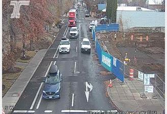
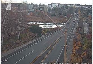
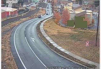

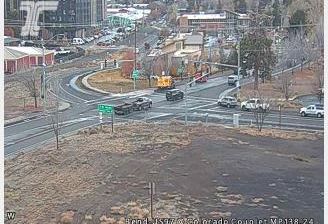
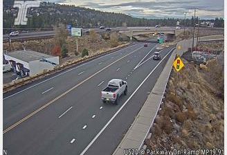

Bend is best known within Oregon for the Deschutes River, which runs through the city and has long shaped its outdoor culture. Set on the eastern flank of the Cascade Range, it occupies central Oregon’s high-desert country, with the volcanic cinder cone of Pilot Butte rising within the city limits. Bend developed as a timber town in the early 20th century; the Old Mill District now stands on the former Brooks-Scanlon mill site beside the river. River trails, paddling and nearby mountain routes give the city an active, four-season character. Continue through nearby webcams to explore different parts of Bend and central Oregon.
30 webcams
The Cascade Range and high desert define much of Oregon, shaping a state where forestry, farming, hydropower and outdoor recreation are central to regional life. The Columbia River forms much of its northern border, while the Willamette Valley supports fertile farmland between the Cascades and the Coast Range. Oregon’s Pacific shore is marked by long beaches, headlands and working coastal towns, and Crater Lake preserves the deep caldera of Mount Mazama in the south. Oregon City is associated with the historic end of the Oregon Trail, a reminder of the migration that transformed the nineteenth-century American West. See how Oregon connects with the wider Pacific Northwest by browsing webcams nearby.
890 webcams
The Atlantic, Pacific and Gulf coasts define much of the United States — their ports, fisheries and trade routes have long tied the country’s economy to the wider world. Between them, the Rocky Mountains, Great Plains and Mississippi River basin form sharply different regions, from high western ranges to broad agricultural heartlands. Cities carry much of the national story: New York’s Statue of Liberty, a gift from France dedicated in 1886, remains an enduring symbol, while Washington, DC concentrates major federal institutions. Indigenous nations have shaped these lands for millennia, and their living cultures remain essential to the country’s identity. Find related webcams in the surrounding areas to build a fuller picture of the United States.
32K webcams