 Bellevue: US 75 - Various
Few places in Nebraska have a history as closely tied to the Missouri River and frontier trade as Bellevue. Established in 1822 as a fur-trading post, Bellevue is widely regarded as Nebraska’s oldest continuously inhabited community. It stands on the river’s west bank south of Omaha, where wooded bluffs and riverlands meet expanding suburban neighborhoods. U.S. Highway 75 is a principal north–south route through the city, while Nebraska Highway 370 leads toward the Bellevue Bridge and Iowa. Nearby Offutt Air Force Base, home to U.S. Strategic Command, has long shaped Bellevue’s identity as a military community. Its river setting and transport links distinguish it from Omaha’s denser urban core.
Generated by AI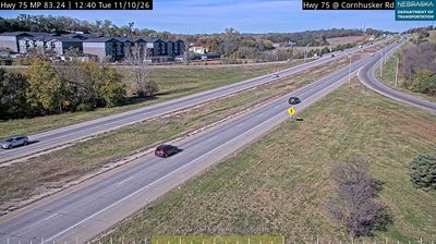
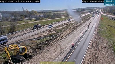

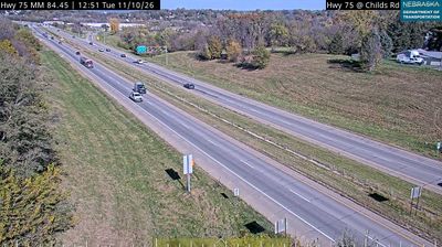

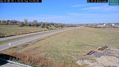

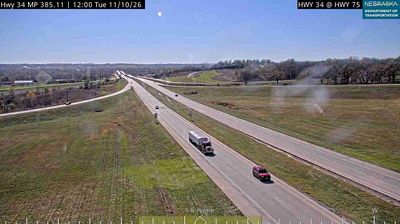


The landscape around Bellevue is defined by the Missouri River floodplain and adjoining wooded bluffs, which have shaped both the city’s development pattern and local economy. Fontenelle Forest preserves woodland and trails on the bluffs above the river, while Haworth Park provides public access to the waterfront. Bellevue began as a fur-trading settlement in 1822, long before Nebraska became a state. Offutt Air Force Base, just south of the city, is a major regional institution and the headquarters of U.S. Strategic Command. Continue through nearby webcams to explore different parts of Bellevue and eastern Nebraska.
6 webcams
Nebraska occupies a broad central stretch of the Great Plains in the United States. The Platte River crosses its southern half, its wide valley long serving as a natural east–west corridor through the prairie. In the north, the Nebraska Sandhills form one of the world’s largest areas of grass-stabilized sand dunes, while western Nebraska becomes drier and more rugged. Much of the Oregon Trail followed the Platte River corridor, linking the state to the great nineteenth-century migration west. Today, working farms, ranches, university cities and expansive open country all remain central to Nebraska’s identity. Explore other webcams in Nebraska to compare prairie, river-valley and Sandhills settings around the state.
328 webcams
The Atlantic, Pacific and Gulf coasts define much of the United States — their ports, fisheries and trade routes have long tied the country’s economy to the wider world. Between them, the Rocky Mountains, Great Plains and Mississippi River basin form sharply different regions, from high western ranges to broad agricultural heartlands. Cities carry much of the national story: New York’s Statue of Liberty, a gift from France dedicated in 1886, remains an enduring symbol, while Washington, DC concentrates major federal institutions. Indigenous nations have shaped these lands for millennia, and their living cultures remain essential to the country’s identity. Find related webcams in the surrounding areas to build a fuller picture of the United States.
32K webcams