 Barbatre
Barbâtre occupies a sandy coastal strip at the southern end of Île de Noirmoutier in Pays de la Loire. Its Atlantic shore is edged by broad beaches and dune systems, while the lower land inland is shaped by fields, salt marshes and small settlements. The commune lies close to the Passage du Gois, the tidal causeway linking Noirmoutier with the mainland near Beauvoir-sur-Mer and covered by the sea twice daily. Barbâtre has the open, low-lying character of the Vendée coast, with roads and cycling routes continuing north across the island. Salt harvesting and the cultivation of early potatoes remain defining traditions of Noirmoutier.
Generated by AI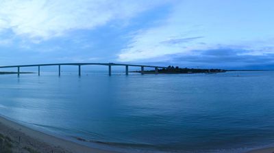
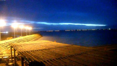
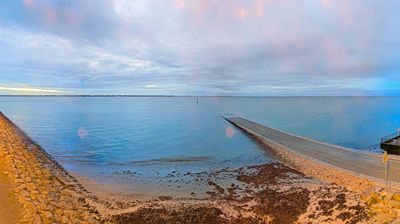

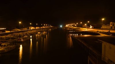
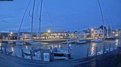
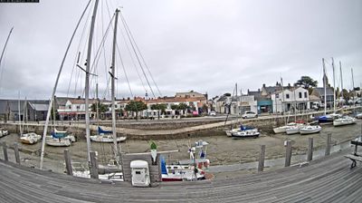


Barbâtre occupies the low-lying southern end of Île de Noirmoutier on the Bay of Bourgneuf in Pays de la Loire. The Atlantic shapes this island commune through long sandy shores, dunes and salt marshes, while the Passage du Gois runs across the bay toward the mainland. This historic tidal causeway is covered by the sea twice daily and can be crossed only around low tide, making tide tables an essential part of local travel. Salt harvesting remains part of Noirmoutier’s identity, alongside farming on land reclaimed from the sea. Barbâtre is a useful base for following the coast and understanding how closely everyday life here follows the water. Move on to other webcams in Pays de la Loire to compare coastal landscapes and settings around the Bay of Bourgneuf.
1 webcam
The Loire River defines much of Pays de la Loire — its broad valley has long supported vineyards, market gardening and river towns. This western French region extends from the Atlantic coast to inland farmland and includes Nantes, Angers, Le Mans and the Vendée. In Angers, the medieval Château d’Angers holds the Apocalypse Tapestry, a major late-medieval work commissioned by Louis I, Duke of Anjou. Nantes developed as an important Loire port, while the river is also followed by the Loire à Vélo cycling route. Continue through nearby webcams to explore different parts of Pays de la Loire.
78 webcams
The Atlantic and Mediterranean coastlines, together with the Alps, Pyrenees and broad river basins, define much of France — they support maritime trade, farming, wine regions and travel throughout the year. The Seine runs through Paris, where the Eiffel Tower and the Louvre are among Europe’s most recognised landmarks. The Loire Valley is known for Renaissance châteaux, while Mont-Saint-Michel rises from a tidal bay in Normandy. Regional food traditions are equally distinctive, from Breton seafood to Provençal cooking, with bread, cheese and wine central to everyday life. France’s global cultural influence is evident in its language, literature, fashion and cinema. View additional webcams nearby to better understand how France’s coasts, plains and mountain borders relate to their surroundings.
2.1K webcams