 Banjar: Jalan Tentara Pelajar - Jalan Banjar - Pamarican
Banjar lies along the Citanduy River, where the low foothills of eastern West Java meet an urban corridor near the Central Java border. Jalan Banjar–Pamarican and Jalan Tentara Pelajar belong to the city’s everyday street network, serving neighbourhood movement amid roadside trees, shops and civic buildings. Banjar was part of Ciamis Regency before becoming an autonomous city in 2003. Its setting places it in the Sundanese cultural sphere, while its borderland position brings West Javanese and Central Javanese travel routes close together. The compact centre contrasts with the cultivated land beyond the city limits.
Generated by AI
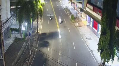
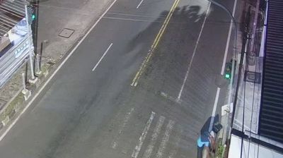

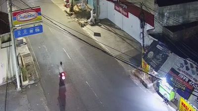


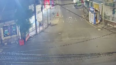
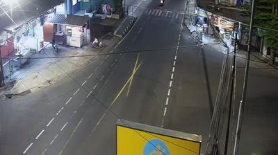
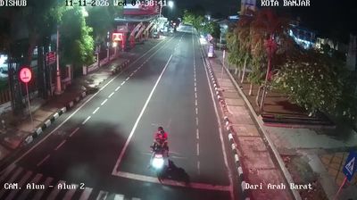

Banjar has served as a transport town in eastern West Java since the late nineteenth century. Close to the provincial boundary with Central Java, it lies in the Citanduy River basin, where lowland routes connect the Priangan interior with Java’s southern corridor. Banjar railway station remains on the island’s southern rail route, linking the city toward Bandung in the west and Yogyakarta in the east. The city became administratively independent from Ciamis Regency in 2003, while its character remains closely tied to Sundanese culture. Batik-making is among the traditions associated with Banjar, alongside the markets and food stalls of a regional service centre. Continue through nearby webcams to explore different parts of Banjar and West Java.
17 webcams
West Java stretches from the Java Sea shoreline to the Indian Ocean, encompassing volcanic uplands, fertile basins and coastal plains. Bandung, set in the island’s interior highlands, is the provincial capital and a major centre of education, design and food culture. The Citarum River crosses the province before reaching the Java Sea; its basin supports farms, towns and reservoirs. West Java is closely associated with the Sundanese people, whose language, music and culinary traditions give the region a distinct identity within Indonesia. Angklung, the bamboo instrument played in groups, was inscribed on UNESCO’s Representative List in 2010. Discover nearby webcam locations for complementary perspectives on West Java, from Bandung’s uplands to its coasts.
261 webcams
Indonesia has served as a maritime crossroads between the Indian and Pacific oceans since the early centuries of international trade. Its vast archipelago stretches across the equator, linking the volcanoes and rice-growing plains of Java with the rainforests of Borneo and the coral-fringed islands of eastern Indonesia. Java is home to Borobudur, a ninth-century Buddhist temple complex and UNESCO World Heritage Site, while Bali’s Hindu traditions shape daily ceremonies and temple life. Bahasa Indonesia provides a shared national language alongside hundreds of local languages. The Java Sea, Banda Sea and busy straits have long connected islands, ports and cuisines. Browse other webcams across Indonesia’s islands to place this setting in a wider geographic context.
599 webcams