 Balatonboglar: Jankovichtelep: Balatonboglár -> Fonyód
Few places in Transdanubia have a history as closely tied to Lake Balaton’s southern-shore resort life as Balatonboglár. The town lies on the lake’s gently shelving southern bank, within the Balatonboglár wine district, an area shaped by vineyards as well as lake tourism. Its best-known landmark is the white openwork sphere lookout on Várdomb hill, the Gömbkilátó. Balatonboglár also has a notable wartime chapter: a Polish secondary school operated here during the Second World War for refugees in Hungary. The waterfront, harbour and broad lakeshore make the town a regular stop for sailing, cycling and holidays around Central Europe’s largest lake.
Generated by AI
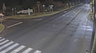


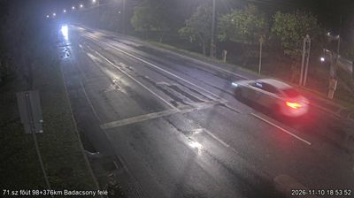

Balatonboglár occupies a stretch of Lake Balaton’s southern shore in Transdanubia. The town is part of the Balatonboglár wine region, where vineyards and cellar traditions are closely tied to the lake’s moderating climate. Its best-known landmark is the Xantus János Gömbkilátó, a distinctive spherical lookout on Várdomb hill, built in 1960 and visible well beyond the town centre. Beaches, a marina and lakeside promenades give Balatonboglár a distinctly summery rhythm, while ferries and roads connect this shore with other Balaton resorts. Continue to other webcams in Transdanubia to compare lakeside settings around Lake Balaton.
2 webcams
Built around the lands west of the Danube, Transdanubia grew into Hungary’s broad western historical region. This location lies on Lake Balaton’s northern shore near Balatonfüred, where the Balaton Uplands rise behind the water in a mosaic of vineyards, basalt hills and small settlements. Lake Balaton, Central Europe’s largest lake, has long shaped local recreation, agriculture and summer life. Across the bay, the Tihany Peninsula is marked by its Benedictine Abbey, founded in 1055 and associated with one of Hungary’s earliest surviving written records. Continue with other webcams from the area to see how this part of western Hungary connects regionally.
303 webcams
Hungary combines a long urban tradition with expansive lowland horizons in a way that reflects its position within the Carpathian Basin. The Danube runs through Budapest, separating the hills of Buda from the grand boulevards of Pest, where the Hungarian Parliament Building stands on the riverbank. Beyond the capital, the Great Hungarian Plain shapes much of the east, while Lake Balaton, Central Europe’s largest lake, draws summer visitors to its shores. Thermal bathing remains part of everyday life, and the Tokaj region is internationally known for its historic sweet wines. Explore nearby webcam locations that provide complementary perspectives on Hungary.
741 webcams