 Ataturk Mahallesi: Kent Meydanı
Built around expanding housing on the Central Anatolian Plateau, Atatürk Mahallesi grew into a residential quarter of the Ankara metropolitan area. Kent Meydanı is a local civic space centred on everyday recreation, with planted paths, outdoor exercise equipment and a fenced community sports court. Low- and mid-rise homes and mature trees give the district a settled neighbourhood scale rather than the dense form of central Ankara. The quarter’s name honours Mustafa Kemal Atatürk, founder and first president of the Republic of Turkey. Its streets and shared facilities reflect the practical public spaces serving Ankara’s newer residential districts.
Generated by AI

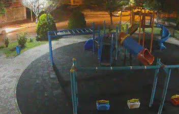
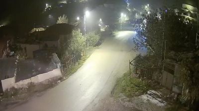
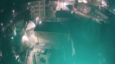


Built around Sincan’s modern residential expansion, Atatürk Mahallesi grew into a neighbourhood on the western edge of Ankara’s metropolitan area. It lies on the Central Anatolian Plateau, in a part of the capital where apartment districts, local commerce and major transport corridors extend beyond the historic core. Sincan is served by the BAŞKENTRAY commuter rail line, linking it with central Ankara and Kayaş. The neighbourhood’s name honours Mustafa Kemal Atatürk, founder of the Republic of Turkey. Find related webcams across Ankara to build a fuller picture of the capital’s western districts.
2 webcams
Ankara has served as the capital of Turkey since 1923. Set on the Central Anatolian Plateau, the city is the country’s political centre, yet its layers extend far beyond the republican era. Anıtkabir, the mausoleum of Mustafa Kemal Atatürk, is a defining civic landmark, while Ankara Castle rises above the historic quarters. The Museum of Anatolian Civilizations displays archaeological finds from across Anatolia in an Ottoman-era bedesten. Broad avenues, universities, theatres and neighbourhood markets give the capital an everyday urban rhythm distinct from Turkey’s coastal cities. Continue through nearby webcams to explore different parts of Ankara.
7 webcams
Turkey stretches from the Black Sea coast to the Mediterranean shore, encompassing the Anatolian Plateau, rugged mountain belts and the indented Aegean coastline. The Bosporus divides Istanbul between Europe and Asia, while historic districts hold landmarks including Hagia Sophia and the Blue Mosque. Inland, Cappadocia is known for valleys formed in soft volcanic rock and for rock-cut churches; farther west, the ruins of Ephesus recall the country’s place in the classical world. Regional character also defines Turkish cuisine, from Aegean olive-oil dishes to tea served throughout daily life. Continue with other webcams from the area to see how this part of Anatolia and the eastern Mediterranean connects regionally.
63 webcams