 Arita
Sasebo straddles the divide between Sasebo Bay and the inland hills of western Nagasaki Prefecture, a position that has made it both a port city and a transport centre. Kihara, on the city’s eastern side, follows National Route 35, the main road linking Sasebo with Takeo through the porcelain-producing towns of Arita and Hasami. Wooded embankments, compact roadside development and steady local traffic mark the transition from the harbour city to the interior. Sasebo became a naval port in 1889 and remains closely associated with its working waterfront; farther west, the Kujuku Islands form part of Saikai National Park. Arita’s ceramics tradition, established in the early 17th century, gives this road corridor a distinct cultural context.
Generated by AI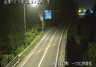


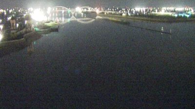

Arita's surroundings form a narrow, wooded valley in western Saga Prefecture, a setting that has influenced both the town's layout and its ceramic economy. The Arita River runs through this historic pottery district, where deposits of porcelain stone helped establish Japan's first porcelain production in the early 17th century. Arita ware ranges from blue-and-white decoration to brilliantly coloured enamel pieces. During the Edo period, wares shipped from the port of Imari reached overseas markets, giving “Imari” international currency as a name for Japanese porcelain. The Arita Ceramic Fair, held during Japan's Golden Week, keeps the craft at the centre of local life. Continue through nearby webcams to explore different parts of Saga Prefecture.
1 webcam
Saga Prefecture has served as a regional heartland within northwestern Kyushu since the early modern era. Framed by the Ariake Sea to the south and the Genkai Sea to the north, it extends from fertile lowlands around Saga City into forested hills and the Kyushu Mountains. The Saga Plain is closely associated with rice cultivation, while tidal flats along the Ariake Sea give its coast a distinctly different character from Japan's open Pacific shores. Ceramic traditions are central here: Arita porcelain became celebrated in Japan and abroad, and Karatsu ware remains linked to the prefecture's northwestern coast. Yoshinogari Historical Park preserves a major Yayoi-period archaeological site. Trace Saga Prefecture's place in northwestern Kyushu by browsing webcams nearby.
7 webcams
Among the countries of East Asia, Japan stands out for its volcanic archipelago, stretching from the cool north of Hokkaido to subtropical Okinawa. Mount Fuji, the nation’s highest mountain, rises above central Honshu, while the Pacific Ocean and the Seto Inland Sea have long shaped settlement, fishing and travel. Tokyo pairs dense urban life with major museums and neighbourhood traditions; Kyoto preserves temples, gardens and the legacy of Japan’s imperial court. Seasonal customs give journeys a changing rhythm, from spring cherry blossom viewing to autumn leaves. Regional cooking is equally varied, with sushi, ramen and local specialties reflecting coastlines, climate and agriculture. Explore nearby webcam locations that provide complementary perspectives on Japan’s islands, cities and mountain regions.
1.3K webcams