 Aranguez
The Caroni Plain defines the setting of Aranguez — level land between Port of Spain and San Juan has been steadily absorbed into Trinidad’s urban East–West Corridor. This compact district combines commercial and residential areas, with local roads, warehouses and open parcels close to the capital’s eastern suburbs. Aranguez forms part of the wider Port of Spain metropolitan area, whose Carnival is one of Trinidad and Tobago’s defining cultural traditions. The Gulf of Paria lies west of this lowland urban belt, while the Northern Range rises farther north.
Generated by AI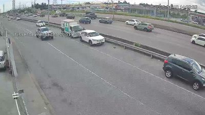
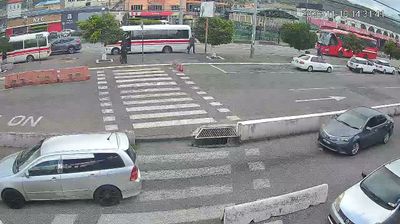
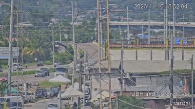

San Juan-Laventille has served as a local-government district within Trinidad and Tobago since 1990. Set along the eastern side of the Port of Spain urban area, it extends from the foothills of the Northern Range towards the lowlands of the Caroni Plain. San Juan is a busy commercial and transport centre on the East–West Corridor, while Laventille is closely associated with Trinidad’s steelband tradition, an essential part of Carnival culture. Residential neighbourhoods, local markets and major roads give the district an energetic, everyday character distinct from the capital’s formal centre. Discover how San Juan-Laventille connects with the wider Trinidad area by browsing nearby webcams.
3 webcams
Trinidad and Tobago stretches from the Gulf of Paria on Trinidad’s west coast to the Caribbean shores of Tobago, encompassing lowland plains, the forested Northern Range and two distinct islands. Trinidad, the larger island, is the country’s urban and industrial centre, with Port of Spain set beneath the Northern Range. At La Brea, Pitch Lake is a major natural asphalt deposit. Tobago moves at a quieter pace, with the Main Ridge Forest Reserve protecting rainforest and coastal waters supporting reefs. Carnival, calypso and the steelpan give the nation an influential musical identity across the Caribbean. Find related webcams in the surrounding area to build a fuller picture of Trinidad and Tobago.
4 webcams