 Apgar: Lake McDonald
The landscape around Lake McDonald is forested and mountainous, which has shaped both the built environment and local life. Set in Glacier National Park in Montana, this glacial lake is the park’s largest, stretching for about 10 miles through a valley of the northern Rocky Mountains. Its waters drain through McDonald Creek, while conifer forest rises along the surrounding slopes. Apgar stands at the lake’s southern end and has long served as a key access point to the park. On the eastern shore, Lake McDonald Lodge, built in 1913, preserves the rustic character of early national-park tourism. The lake’s glacier-rounded basin and broad shoreline make it central to the park’s western side.
Generated by AI
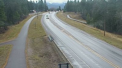
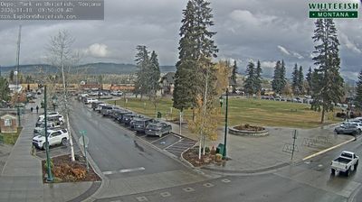
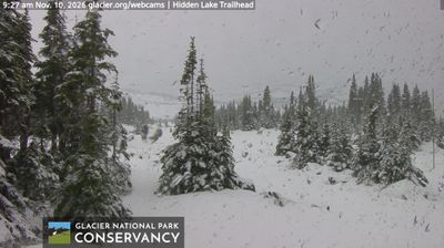
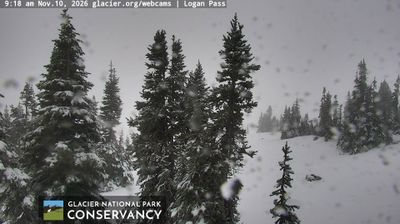
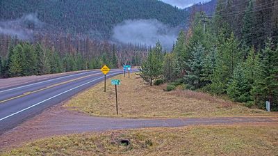

Apgar lies along the southern shore of Lake McDonald, where conifer forest meets the steep, glacier-carved terrain of Glacier National Park. The small community stands near the park’s west entrance and is a starting point for lakeside walks, boating, and journeys on the Going-to-the-Sun Road. Lake McDonald, the park’s largest lake, reaches far into a valley beneath the Continental Divide. Apgar Village provides seasonal services while retaining the modest scale of an early national-park settlement. Shore access and nearby trails make it a useful place to get acquainted with Montana’s northern Rockies. See how Apgar connects with Glacier National Park and northwest Montana by browsing webcams nearby.
1 webcam
Montana extends from the Rocky Mountains in the west to the Great Plains along its eastern border, encompassing high ranges, wide river valleys and open prairie. The Missouri River crosses the state’s centre, beginning near Three Forks where the Jefferson, Madison and Gallatin rivers meet. Glacier National Park protects a dramatic section of the northern Rockies, while Little Bighorn Battlefield National Monument commemorates the 1876 battle between U.S. forces and Lakota and Cheyenne warriors. Ranching, tribal nations and long-distance rail corridors remain central to Montana’s identity. Find related webcams across the surrounding states to build a fuller picture of Montana.
43 webcams
The Atlantic, Pacific and Gulf coasts define much of the United States — their ports, fisheries and trade routes have long tied the country’s economy to the wider world. Between them, the Rocky Mountains, Great Plains and Mississippi River basin form sharply different regions, from high western ranges to broad agricultural heartlands. Cities carry much of the national story: New York’s Statue of Liberty, a gift from France dedicated in 1886, remains an enduring symbol, while Washington, DC concentrates major federal institutions. Indigenous nations have shaped these lands for millennia, and their living cultures remain essential to the country’s identity. Find related webcams in the surrounding areas to build a fuller picture of the United States.
32K webcams