 Albert-Eden: SH16 Rosebank Rd
Albert-Eden sits on the Auckland isthmus in New Zealand, where State Highway 16 joins the Waterview Connection between the Waitematā Harbour and Manukau Harbour coasts. This corridor is part of Auckland’s motorway network, linking the city centre and northwest with SH20’s route toward Auckland Airport. The wider local-board area combines established inner suburbs with terrain shaped by the Auckland Volcanic Field. Maungawhau / Mount Eden, a scoria cone and former pā, is one of its defining landmarks and an important Māori ancestral place. Parks, schools and neighbourhood shopping streets sustain a residential identity alongside the major transport links.
Generated by AI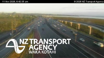
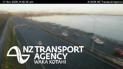
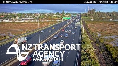
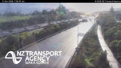


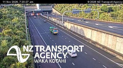
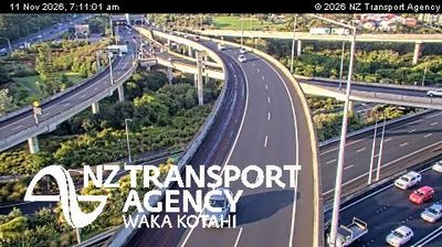
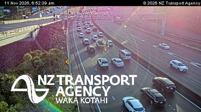

Auckland’s volcanic field defines the setting of Albert-Eden — its ancient cones give this inner part of the city a noticeably rolling, elevated form amid dense residential suburbs. Maungawhau, also known as Mount Eden, is one of the area’s most prominent cones; its slopes retain evidence of Māori pā occupation and it is an important place in Tāmaki Makaurau’s cultural landscape. In Kingsland, Eden Park is New Zealand’s national stadium and a major venue for rugby and cricket. Albert-Eden sits inland from Waitematā Harbour, linking central Auckland with established neighbourhoods to the west and south. Trace Albert-Eden’s place in Auckland’s volcanic landscape by browsing webcams from nearby areas.
11 webcams
Among New Zealand’s regions, Auckland stands out for its urban setting between two harbours and the islands of the Hauraki Gulf. The region occupies a narrow isthmus, with Waitematā Harbour opening towards the Pacific and Manukau Harbour reaching the Tasman Sea. More than 50 volcanic cones and craters form the Auckland volcanic field; Maungawhau / Mount Eden is among its most recognisable landmarks. Auckland is also New Zealand’s largest city and a major centre of Māori and Pacific communities, reflected in its food, arts and public life. Continue to other webcams in the region to compare coastal, harbour and city settings around Auckland.
128 webcams
New Zealand combines Pacific isolation with strong ties to the wider South Pacific in a way that reflects its position between the Tasman Sea and the open Pacific Ocean. The country’s two main islands are divided by Cook Strait, while the Southern Alps run along much of the South Island and include Aoraki / Mount Cook, its highest mountain. On the North Island, volcanic terrain shapes Tongariro National Park and the central plateau; long coastlines frame cities such as Auckland and Wellington. Māori culture is central to national life, and the Treaty of Waitangi, first signed in 1840, remains a foundational document in relations between Māori and the Crown. See how New Zealand fits within the wider South Pacific by browsing webcams nearby.
495 webcams