 Aguas Claras: Naranjo
Formed amid the forested foothills of the Cordillera de Guanacaste, Aguas Claras developed into a small settlement in northern Alajuela Province. It lies close to the Rincón de la Vieja volcanic massif, whose active crater, fumaroles and hot springs reflect the geothermal forces beneath this part of Costa Rica. Dense tropical forest covers the slopes and connects the locality to the wider protected landscapes around Rincón de la Vieja National Park. The settlement’s Spanish name means “clear waters,” a fitting reference in a region where rivers descending volcanic uplands support forest and agriculture. Aguas Claras suits travellers seeking a quieter base beyond Costa Rica’s larger resort towns.
Generated by AI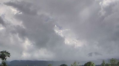

Costa Rica’s northern lowlands define the setting of Aguas Claras — warm, rain-fed rural terrain shapes a community whose rhythms remain closely tied to farming and the changing tropical seasons. Located in Upala canton, in Alajuela Province near the Nicaraguan border, it belongs to a broad interior region of fields, pasture and forest rather than Costa Rica’s better-known coastal resorts. The area provides a useful impression of everyday life in the country’s northern borderlands. Continue to other webcams in Alajuela Province to compare rural settings across northern Costa Rica.
1 webcam
The terrain of Alajuela Province ranges from volcanic highlands in the south to broad lowland plains around San Carlos in the north, producing marked changes in temperature and rainfall. At the province’s northern end, the San Carlos plain is crossed by the Río San Carlos, part of the drainage system leading toward the San Juan River on the Nicaraguan border. Arenal Volcano and Poás Volcano are two of Costa Rica’s best-known volcanic landmarks, in very different parts of the province. Alajuela, the provincial capital, is closely associated with Juan Santamaría, the national hero commemorated for his role in the 1856 campaign against William Walker. Browse additional webcams from northern Costa Rica to extend your view of Alajuela Province.
4 webcams
Volcanic mountain ranges, Pacific shores and the Caribbean coast define much of Costa Rica — they support agriculture, tourism and an exceptional variety of ecosystems. Rainforest, cloud forest and dry tropical forest lie within a relatively compact country, while protected areas cover roughly a quarter of its territory. Arenal Volcano is among its best-known natural landmarks, and the Monteverde region is noted for its cloud forest. San José’s National Theatre, opened in 1897, reflects the wealth created by the historic coffee trade. Continue with other webcams from the area to see how this part of Central America connects regionally.
13 webcams