 Aga: National Route 49
Aga is best known within Niigata Prefecture for its stretch of National Route 49, the cross-country highway linking Niigata City with Fukushima Prefecture. Here the road follows the narrow, wooded terrain of the Agano River valley, an important corridor between the Sea of Japan coast and the inland Aizu region. Aga’s settlements are dispersed along this river landscape rather than gathered around one urban centre. The historic district of Tsugawa developed as a river port, when the Agano carried people and goods between Aizu and Niigata. Route 49 is now the main road connection through the same mountainous district, its course shaped by bends, cut slopes and small roadside communities.
Generated by AI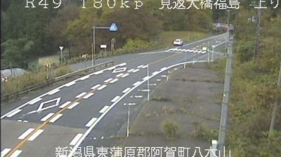
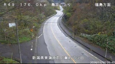
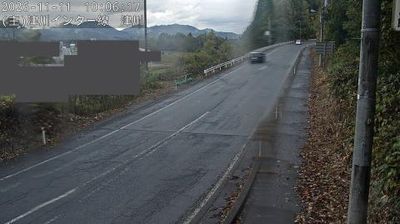
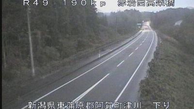
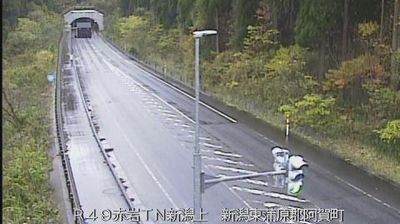
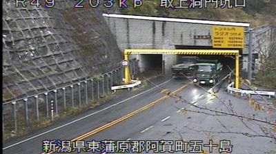



The landscape around Aga is defined by steep, densely forested mountains cut by the Agano River, which has shaped both the town’s linear settlement pattern and local economy. In eastern Niigata Prefecture, Aga spreads across a rural area between the Echigo Mountains and the Aizu region of Fukushima. Tsugawa, the town’s main centre, developed as a river-transport town during the Edo period, when the Agano carried people and goods through this inland corridor. Its older streets retain storehouses and merchant-house character, while the Tsugawa Fox Bride Procession draws on a regional folk tradition. Browse nearby webcams to see how Aga fits within the broader Agano River valley and Niigata mountain country.
7 webcams
Shaped by the fertile Echigo Plain and the Shinano River system, Niigata Prefecture developed into one of Japan’s foremost rice-growing regions. Facing the Sea of Japan, it combines a long coast with broad lowlands and mountain country that receives heavy winter snow. Sado Island lies offshore, and its historic gold mines recall centuries of mining that connected the island to Japan’s wider economy. Rice, clear water and winter conditions also underpin Niigata’s respected sake culture and its ski areas. Discover further points of interest through webcams located across Niigata Prefecture.
72 webcams
Among the countries of East Asia, Japan stands out for its volcanic archipelago, stretching from the cool north of Hokkaido to subtropical Okinawa. Mount Fuji, the nation’s highest mountain, rises above central Honshu, while the Pacific Ocean and the Seto Inland Sea have long shaped settlement, fishing and travel. Tokyo pairs dense urban life with major museums and neighbourhood traditions; Kyoto preserves temples, gardens and the legacy of Japan’s imperial court. Seasonal customs give journeys a changing rhythm, from spring cherry blossom viewing to autumn leaves. Regional cooking is equally varied, with sushi, ramen and local specialties reflecting coastlines, climate and agriculture. Explore nearby webcam locations that provide complementary perspectives on Japan’s islands, cities and mountain regions.
1.3K webcams