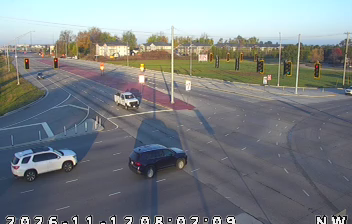
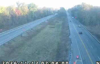
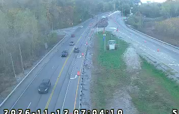
 Evansville: IN 62: 01-082-048-_-_-cam-1 SR 62 - Morgan & Green River Rd
Evansville sits on the Ohio River in southwest Indiana, United States, where the riverfront city meets the lowlands of the Midwestern interior. Indiana’s third-largest city developed as a trading and manufacturing centre, with the Ohio linking it to Kentucky on the opposite bank. Evansville played a significant industrial role during the Second World War, when its shipyards built landing ships for the US Navy. Southeast of downtown, Angel Mounds State Historic Site preserves a major Indigenous settlement associated with Mississippian culture. Today, Evansville remains a regional hub for southwestern Indiana, supported by universities, health care and performing arts institutions.
Generated by AI




Evansville sits on the Ohio River in southwestern Indiana, where the broad waterway forms the state border with Kentucky. The city developed as a river port and industrial centre, and its downtown riverfront still links civic spaces with the banks of the Ohio. Evansville’s World War II role is recalled by USS LST-325, a landing ship berthed on the waterfront, while local shipyards built LST vessels during the war. Bosse Field, opened in 1915, remains home to the Evansville Otters baseball team. Museums, performance venues and restaurants cluster around the central districts, but the river remains the defining line in the city’s geography. Browse further webcams across southwestern Indiana and the Ohio River corridor to place this setting in a wider geographic context.
8 webcams
Indiana’s terrain ranges from the sandy Lake Michigan shore and glaciated plains in the north to wooded, rolling hills in the south, creating a clear shift in character across the state. The Wabash River, Indiana’s state river, follows much of the western border before meeting the Ohio River. Indianapolis anchors the centre with the Indianapolis Motor Speedway, home of the Indianapolis 500, while smaller cities and farming communities reflect the importance of corn and soybean country. Indiana Dunes National Park adds beaches and dune formations to a state better known for its interior. Find related webcams in the surrounding area to build a fuller picture of Indiana.
379 webcams
The Atlantic, Pacific and Gulf coasts define much of the United States — their ports, fisheries and trade routes have long tied the country’s economy to the wider world. Between them, the Rocky Mountains, Great Plains and Mississippi River basin form sharply different regions, from high western ranges to broad agricultural heartlands. Cities carry much of the national story: New York’s Statue of Liberty, a gift from France dedicated in 1886, remains an enduring symbol, while Washington, DC concentrates major federal institutions. Indigenous nations have shaped these lands for millennia, and their living cultures remain essential to the country’s identity. Find related webcams in the surrounding areas to build a fuller picture of the United States.
32K webcams