 Phước Hưng: Khu công nghiệp Mỹ Xuân A - đường số 1A - Đường Độc Lập
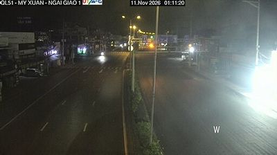
Tucked into the industrial corridor beside the Thị Vải River, Đường Độc Lập is a place whose character is shaped by the daily movement of workers, motorcycles and freight around Mỹ Xuân A Industrial Park. Its junction with Road 1A lies in the Phú Mỹ area of southern Vietnam’s Bà Rịa–Vũng Tàu Province, a district developed around manufacturing, logistics and river ports. Broad carriageways, signalised crossings and commercial frontage give this part of town a functional urban rhythm rather than a resort character. The wider Phú Mỹ area forms part of the Thị Vải–Cái Mép port region, where deep-water terminals connect southeastern Vietnam with international shipping. This intersection is a compact portrait of the infrastructure supporting one of the country’s important industrial and maritime economies.
Generated by AI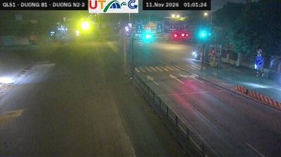



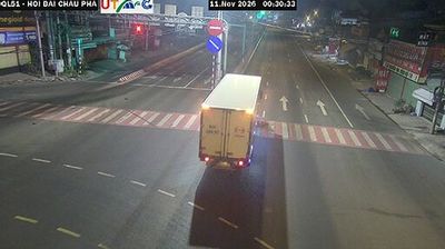
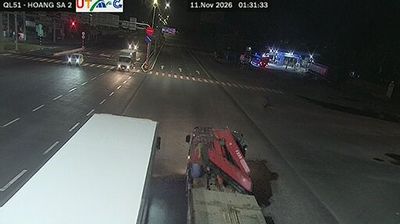
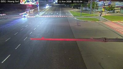

The landscape around Phước Hưng is seasonally wet tropical countryside in southeastern Vietnam, which has shaped both the settlement pattern and agricultural economy. This is a low-density part of the wider Ho Chi Minh City region, where local roads connect cultivated land, homes and everyday services rather than a continuous urban centre. The annual monsoon brings a pronounced rainy season, while drier months make water management important for farming. Vietnamese community life follows the national calendar of celebrations, especially Tết, the Lunar New Year, when family gatherings and local observances take centre stage. Find related webcams across the Ho Chi Minh City region to build a fuller picture of Phước Hưng and southeastern Vietnam.
1 webcam
Ho Chi Minh City stretches from the Saigon River through central District 1 to the mangrove-lined coast of Can Gio, encompassing intensely urban neighbourhoods and tidal wetlands. Formerly known as Saigon, it is Vietnam’s largest city and a fast-moving centre of commerce, street food, and contemporary culture. French colonial-era landmarks remain part of the city centre, including the Central Post Office and the Notre-Dame Cathedral Basilica of Saigon. The Saigon River continues to shape the city’s waterfront districts, while Can Gio forms a markedly quieter southern edge. Find related webcams in the surrounding area to build a fuller picture of Ho Chi Minh City.
678 webcams
Vietnam has served as a frontier between Chinese and Southeast Asian cultural spheres since the first millennium. This long, narrow country extends from the Red River delta in the north to the Mekong delta in the south, while the Annamite Range forms much of its western spine. Ha Long Bay’s limestone islands contrast with broad rice-growing lowlands. In central Vietnam, Huế was the seat of the Nguyễn dynasty, and Hội An retains the character of a historic trading port shaped by Asian and European commerce. Pho, regional noodle dishes and a lively coffee culture are part of daily life. View additional webcams nearby to better understand how Vietnam relates to the South China Sea and mainland Southeast Asia.
705 webcams