 Phước Tấn: Hội Bài - Châu Pha - Quốc lộ 51
Tucked into the lowland corridor between Biên Hòa and Vũng Tàu, Hội Bài–Châu Pha is a place whose character is shaped by National Route 51. The junction lies in Châu Pha Commune, Phú Mỹ, in Bà Rịa–Vũng Tàu Province, where the highway is part of the overland connection between Đồng Nai and the coast. Broad carriageways, service businesses and low-rise development underline its role as a working transport corridor rather than a resort district. Roadside shops and food outlets reflect the everyday commercial culture of a major Vietnamese highway. East of Châu Pha, the Thị Vải River supports the port-industrial area around Phú Mỹ.
Generated by AI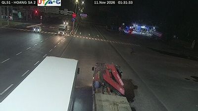
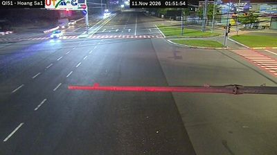


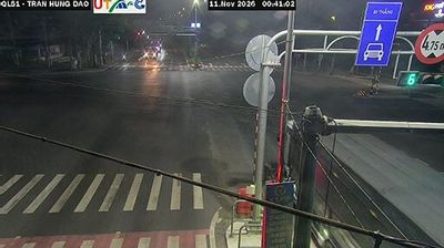
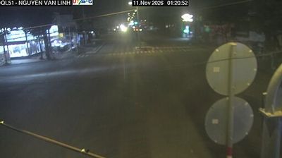

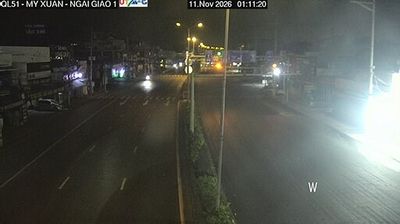
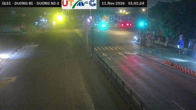
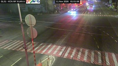

Built around the cultivated lowlands of southeastern Vietnam, Phước Tấn developed into a small inland community between Ho Chi Minh City and the coast of Bà Rịa–Vũng Tàu. Its setting belongs to the broad, warm plains of Vietnam’s southeast rather than the dense urban core of Ho Chi Minh City, with local roads linking scattered settlements across the region. The South China Sea coast lies to the southeast, while the area’s everyday character remains distinctly rural. Phước Tấn provides a useful reference point for understanding the transition from metropolitan surroundings to the coastal districts of southern Vietnam. Explore nearby webcam locations that provide complementary perspectives on southeastern Vietnam.
2 webcams
Ho Chi Minh City stretches from the Saigon River through central District 1 to the mangrove-lined coast of Can Gio, encompassing intensely urban neighbourhoods and tidal wetlands. Formerly known as Saigon, it is Vietnam’s largest city and a fast-moving centre of commerce, street food, and contemporary culture. French colonial-era landmarks remain part of the city centre, including the Central Post Office and the Notre-Dame Cathedral Basilica of Saigon. The Saigon River continues to shape the city’s waterfront districts, while Can Gio forms a markedly quieter southern edge. Find related webcams in the surrounding area to build a fuller picture of Ho Chi Minh City.
678 webcams
Vietnam has served as a frontier between Chinese and Southeast Asian cultural spheres since the first millennium. This long, narrow country extends from the Red River delta in the north to the Mekong delta in the south, while the Annamite Range forms much of its western spine. Ha Long Bay’s limestone islands contrast with broad rice-growing lowlands. In central Vietnam, Huế was the seat of the Nguyễn dynasty, and Hội An retains the character of a historic trading port shaped by Asian and European commerce. Pho, regional noodle dishes and a lively coffee culture are part of daily life. View additional webcams nearby to better understand how Vietnam relates to the South China Sea and mainland Southeast Asia.
705 webcams