 Geoje-myeon: Eumnae-ro 2-gil
Among the places of Gyeongsangnam-do, Geoje-myeon stands out for its position in the settled interior of Geoje Island. Eumnae-ro 2-gil forms part of the township’s local road network, in an area shaped by everyday neighbourhoods and smaller-scale land use rather than Geoje’s better-known waterfront districts. Geoje Island lies off South Korea’s southern coast in the Korea Strait, where channels and nearby islands define the wider maritime setting. Geoje-myeon belongs to Geoje City, a municipality internationally associated with major shipbuilding operations, notably at Okpo. This local setting adds another dimension to an island better known for its industrial ports and coastal communities.
Generated by AI


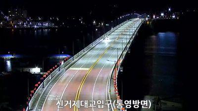
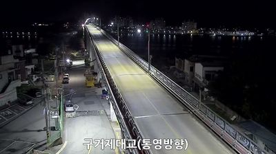
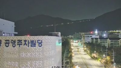

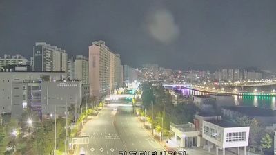
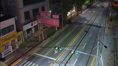
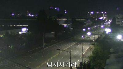

Few places in Gyeongsangnam-do have a history as closely tied to administration on Geoje Island as Geoje-myeon. Long the island’s county seat, this inland township retains Giseonggwan, a Joseon-period government guesthouse associated with the former Geoje magistracy, and Geoje Hyanggyo, the local Confucian school. It lies amid the low, folded terrain of Geoje Island, South Korea’s second-largest island, with the Korea Strait shaping its maritime connections. Modern Geoje is strongly associated with shipbuilding, while Geoje-myeon preserves an older civic identity. Browse additional webcams nearby to better understand how Geoje Island relates to its surrounding seas.
2 webcams
Gyeongsangnam-do extends from the slopes of Jirisan to the Korea Strait, encompassing a mountainous interior, broad river plains and an island-studded southern coast. Its provincial capital, Changwon, is a major industrial city, while the shoreline leads toward the ports and ferry routes of Tongyeong and Geoje. Hallyeohaesang National Park protects a long stretch of this maritime zone, where wooded islands meet sheltered channels. Inland, Jinju is known for Jinjuseong Fortress and the 1592 defence of the city during the Japanese invasions of Korea. Follow Gyeongsangnam-do’s place in southern Korea by browsing webcams across the surrounding region.
17 webcams
South Korea stretches from the mountainous border with North Korea to Jeju Island, encompassing forested ranges, fertile river basins and a deeply indented southern coast. The Taebaek Mountains run along much of the east, while the Han River crosses Seoul before reaching the Yellow Sea. Busan faces the Korea Strait, and tidal flats and islands shape the country’s western shore. Seoul combines dense contemporary districts with royal Joseon sites, including Gyeongbokgung Palace, first built in 1395. Kimchi and bibimbap are central to everyday cuisine, while the Korean alphabet, Hangeul, was created in the 15th century. Find related webcams in the surrounding area to build a fuller picture of South Korea’s coasts, mountains and cities.
163 webcams