 Pec pod Snezkou: Javor

Pec pod Sněžkou has served as a mining settlement in the eastern Krkonoše Mountains since the 16th century. Set in a narrow mountain valley, it spreads below Sněžka, the Czech Republic’s highest mountain at 1,603 metres, and among the wooded ridges of Krkonoše National Park. Javor is a developed ski area where pistes and chairlifts occupy a cleared hillside above the valley. Routes from the town lead towards Sněžka and across higher mountain terrain, while the centre concentrates accommodation and services for the resort. Mining had faded long before tourism became its defining economy, but those origins still distinguish Pec from purpose-built ski stations.
Generated by AI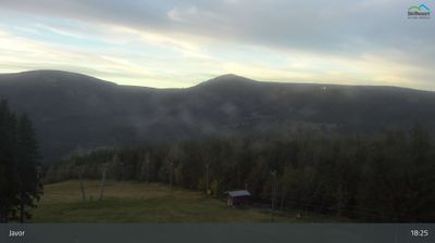
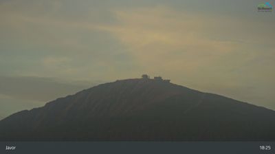


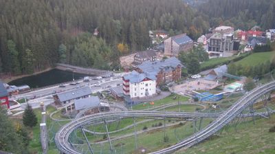
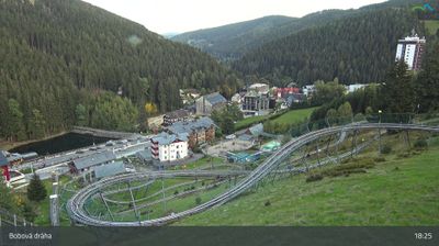

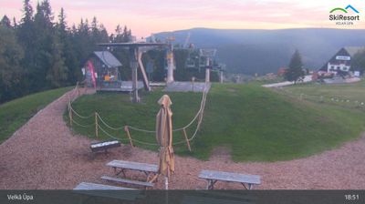

Few towns in the Krkonoše Mountains have a history as closely tied to metal mining as Pec pod Sněžkou. Set in the valley of the Úpa River beneath Sněžka, the 1,603-metre summit that is Czechia’s highest mountain, it is one of the country’s principal mountain resorts. Its name recalls the furnaces used by early miners and metalworkers; the settlement developed around this industry from the 16th century. Today, trails, ski slopes and the cable car toward Sněžka link the town with the protected high-mountain terrain of Krkonoše National Park. See how Pec pod Sněžkou fits within the wider Krkonoše area by browsing webcams nearby.
15 webcams
The Krkonoše Mountains and the upper Elbe define much of Královéhradecký kraj - mountain resorts and winter sports have long supported its tourism economy. On the Polish border, Sněžka reaches 1,603 metres, making it Czechia’s highest mountain, and stands within Krkonoše National Park. The Elbe rises in these mountains before flowing through the region’s lower country. Hradec Králové, the regional capital, combines a historic core with notable early-20th-century architecture linked to Josef Gočár and Jan Kotěra. Farther east, the sandstone formations of the Adršpach–Teplice Rocks introduce a sharply different terrain. View additional webcams nearby to better understand how Královéhradecký kraj connects its mountain borderlands with the Elbe lowlands.
134 webcams
The terrain of Czechia ranges from fertile lowlands in southern Moravia to mountain ridges along the northern frontier, giving this Central European country a distinctly varied geography. The Vltava runs through Prague before joining the Elbe, while the Krkonoše form part of the border with Poland and include Sněžka, Czechia’s highest mountain. Prague’s historic centre, with Prague Castle and Charles Bridge, reflects the city’s long role as a political and cultural centre. Beyond the capital, Bohemia is known for spa towns and brewing, and Moravia for wine-growing traditions. View additional webcams nearby to better understand how Czechia relates to its Central European surroundings.
1.4K webcams