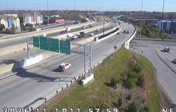
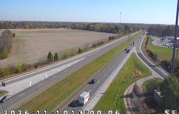
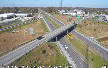
 Indianapolis: I-465: 1-465-046-7-1 S OF ENGLISH
White River defines the setting of Indianapolis — its broad, low valley crosses central Indiana, while the city’s street grid radiates from Monument Circle. Founded as the new state capital in 1821, Indianapolis developed around a planned civic centre rather than an older colonial port. The Soldiers and Sailors Monument, completed in 1902, stands at the circle’s heart, with the limestone Indiana Statehouse nearby. West of downtown, Indianapolis Motor Speedway opened in 1909 and has hosted the Indianapolis 500 since 1911, giving motorsport a central place in the city’s international identity. Museums, sports venues and residential districts extend across the largely level metropolitan area.
Generated by AI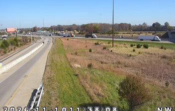

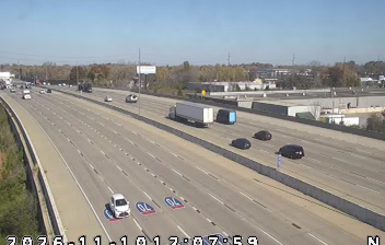
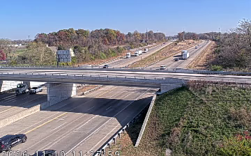

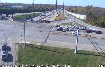


The White River defines the setting of Indianapolis — its course west of downtown has helped shape a network of parks and trails that bring recreation into city life. At the centre, Monument Circle is anchored by the Soldiers and Sailors Monument, completed in 1902 to honour Indiana’s military veterans. Motor racing is integral to the city’s identity: the Indianapolis Motor Speedway stands in neighbouring Speedway, and the Indianapolis 500 has been held there since 1911. Downtown’s Canal Walk follows part of the Central Canal, an unfinished 19th-century waterway project. Continue with other webcams from the area to see how this part of central Indiana connects regionally.
20 webcams
Indiana’s terrain ranges from the sandy Lake Michigan shore and glaciated plains in the north to wooded, rolling hills in the south, creating a clear shift in character across the state. The Wabash River, Indiana’s state river, follows much of the western border before meeting the Ohio River. Indianapolis anchors the centre with the Indianapolis Motor Speedway, home of the Indianapolis 500, while smaller cities and farming communities reflect the importance of corn and soybean country. Indiana Dunes National Park adds beaches and dune formations to a state better known for its interior. Find related webcams in the surrounding area to build a fuller picture of Indiana.
353 webcams
The Atlantic, Pacific and Gulf coasts define much of the United States — their ports, fisheries and trade routes have long tied the country’s economy to the wider world. Between them, the Rocky Mountains, Great Plains and Mississippi River basin form sharply different regions, from high western ranges to broad agricultural heartlands. Cities carry much of the national story: New York’s Statue of Liberty, a gift from France dedicated in 1886, remains an enduring symbol, while Washington, DC concentrates major federal institutions. Indigenous nations have shaped these lands for millennia, and their living cultures remain essential to the country’s identity. Find related webcams in the surrounding areas to build a fuller picture of the United States.
32K webcams