 Waldershof: Oberpfalzturm - Steinwald - Blick Richtung Erbendorf
The Wondreb River defines the setting of Waldershof — it follows a narrow valley through the wooded foothills of the Fichtel Mountains in northeastern Bavaria. Waldershof lies in the Tirschenreuth district of the Upper Palatinate, one of Bavaria’s historic regions, close to the Czech border. Its position between settled valley floors and low, forested uplands gives the town a rural northeastern Bavarian character rather than the density of a regional city. The Fichtel Mountains form an important Central European watershed, while the terrain around Waldershof links small settlements, woodland, farmland and local roads. This borderland setting has long connected Bavarian and Czech cultural landscapes.
Generated by AI
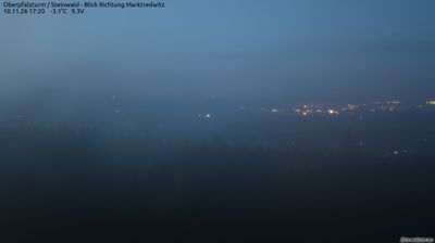
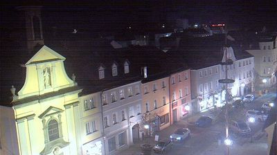



Few towns in Bavaria have a history as closely tied to the Stiftland, the former territory of Waldsassen Abbey, as Waldershof. The town lies in the Wondreb valley on the eastern side of the Fichtel Mountains, where wooded uplands meet the gentler terrain of the Upper Palatinate. Its location near the Czech border gives the area a distinctly northeastern Bavarian identity, far from the state’s Alpine south. Waldershof belongs to the Tirschenreuth district, a region of ponds, forests and small market towns influenced for centuries by the Cistercian monastery at Waldsassen. The nearby Kösseine massif is among the defining highland landmarks of the Fichtelgebirge. Discover other points of interest through webcams located across the Stiftland and the Fichtel Mountains.
3 webcams
Built around the early medieval Duchy of Bavaria, Bavaria grew into Germany’s largest federal state. The Danube crosses its broad centre, while the Bavarian Alps form its southern edge and include the Zugspitze, Germany’s highest mountain. Munich is the state capital and the home of Oktoberfest, a festival rooted in an 1810 royal wedding. Beyond the metropolis, Franconia’s vineyards, Swabian towns and Alpine resorts reveal how varied this part of Germany can be. Browse additional webcams from the surrounding area to extend your view of Bavaria.
862 webcams
Germany stretches from the North Sea and Baltic Sea coasts to the Alps on its southern border, encompassing northern plains, river valleys and forested uplands. The Rhine, Danube and Elbe have long connected its regions, while the Black Forest and Bavarian Alps give the south a more dramatic relief. Berlin’s Brandenburg Gate and Museum Island reflect the capital’s role in German history and culture. Cologne Cathedral, a UNESCO World Heritage Site, rises above the Rhine, and the Bauhaus movement, founded in Weimar in 1919, transformed modern design far beyond Germany. Regional cooking, Christmas markets and brewing traditions bring further character to daily life. Browse additional webcams from the surrounding area to extend your view of Germany.
2.8K webcams