 Siglufjörður: Strákagöng suður
Siglufjörður straddles the narrow strip between its fjord and the steep slopes of Iceland’s Tröllaskagi Peninsula, a setting that made maritime links and later road tunnels essential to the town. The settlement grew rapidly with the North Atlantic herring fishery in the early 20th century and is now home to the Herring Era Museum, housed in former waterfront buildings. Strákagöng, the road tunnel south of town, links Siglufjörður with Ólafsfjörður through the mountains. The fjord opens northward to the Greenland Sea, while sharp ridges frame a compact harbour community. Fishing remains central to local identity, alongside mountain travel and cultural tourism.
Generated by AI
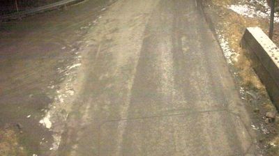




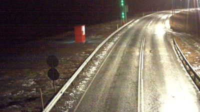
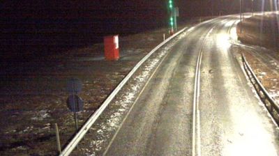

Built around a sheltered harbour at the head of Siglufjörður fjord, Siglufjörður grew into Iceland’s foremost centre of herring fishing during the twentieth-century boom. The compact town sits between the cold waters of Eyjafjörður and steep mountains on the Tröllaskagi Peninsula, where snow can linger high above the roofs well into summer. Its Herring Era Museum occupies former waterfront buildings and recounts the industry that transformed this remote northern settlement. Today, fishing boats, mountain roads and the harbour still shape daily life. Discover Siglufjörður’s setting along Iceland’s northern coast by browsing webcams from the Tröllaskagi Peninsula and Northeastern Region.
25 webcams
Northeastern Region combines restless volcanic terrain with sparsely settled farmland in a way that reflects its position within Iceland’s geologically active north. Around Lake Mývatn, lava fields, wetlands and geothermal ground lie close together, creating one of the country’s most distinctive inland environments. The Skútustaðagígar pseudocraters and the dark lava formations of Dimmuborgir trace the area’s volcanic origins, while the Krafla system and Námafjall geothermal area show its continuing activity. At Grenjaðarstaður, a preserved turf farm recalls the building traditions of rural Iceland. Browse additional webcams nearby to see how the Mývatn district connects to northeastern Iceland’s volcanic interior.
76 webcams
Iceland occupies a volcanic North Atlantic island on the Mid-Atlantic Ridge, between Europe and North America. Glaciers, black-sand shores and active geothermal areas form a terrain in constant dialogue with the weather; Vatnajökull is Europe’s largest glacier by volume. The Golden Circle links Þingvellir National Park, the Geysir geothermal area and Gullfoss waterfall, while Reykjavík concentrates much of the country’s contemporary culture and design. At Þingvellir, the Alþingi first assembled in 930. Fishing, wool knitwear and geothermal energy remain central to Icelandic life. Find related webcams in the surrounding area to build a fuller picture of Iceland.
657 webcams