 Þórshöfn: Brekknaheiði
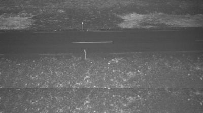
Þórshöfn has served as a fishing port in northeastern Iceland since the 19th century. The settlement lies on the coast of Þistilfjörður, beside the broad Langanes peninsula, where the North Atlantic shapes both work and travel. Nearby Brekknaheiði is an exposed heathland route on Road 85, part of the coastal road network linking Þórshöfn with other communities in the region. Its open ground, low vegetation and gently rolling horizons are typical of this sparsely settled corner of Iceland. Þórshöfn’s harbour remains central to local life, while Langanes extends eastward into the sea as one of the country’s remote peninsulas.
Generated by AI








Þórshöfn lies on the shore of Þistilfjörður in northeastern Iceland, where open North Atlantic water meets the low, treeless heath of the Langanes area. This small settlement is one of the region’s important fishing harbours, and the working waterfront remains central to local life. The surrounding coast is exposed and sparsely settled, with broad skies, changing weather and long stretches of road between communities. Þórshöfn also serves as a practical base for exploring the remote northeastern corner of the country. Explore nearby webcam locations that provide complementary perspectives on Þistilfjörður and northeastern Iceland.
3 webcams
Northeastern Region combines restless volcanic terrain with sparsely settled farmland in a way that reflects its position within Iceland’s geologically active north. Around Lake Mývatn, lava fields, wetlands and geothermal ground lie close together, creating one of the country’s most distinctive inland environments. The Skútustaðagígar pseudocraters and the dark lava formations of Dimmuborgir trace the area’s volcanic origins, while the Krafla system and Námafjall geothermal area show its continuing activity. At Grenjaðarstaður, a preserved turf farm recalls the building traditions of rural Iceland. Browse additional webcams nearby to see how the Mývatn district connects to northeastern Iceland’s volcanic interior.
75 webcams
Iceland occupies a volcanic North Atlantic island on the Mid-Atlantic Ridge, between Europe and North America. Glaciers, black-sand shores and active geothermal areas form a terrain in constant dialogue with the weather; Vatnajökull is Europe’s largest glacier by volume. The Golden Circle links Þingvellir National Park, the Geysir geothermal area and Gullfoss waterfall, while Reykjavík concentrates much of the country’s contemporary culture and design. At Þingvellir, the Alþingi first assembled in 930. Fishing, wool knitwear and geothermal energy remain central to Icelandic life. Find related webcams in the surrounding area to build a fuller picture of Iceland.
628 webcams