 Varmaland: Kolás
Varmaland sits at the inland edge of Borgarfjörður in western Iceland, where Route 1 follows low, wooded hills between Borgarnes and the north. This sparsely settled farming area is notable in Iceland for its patches of planted forest, a marked contrast to the treeless terrain often associated with the country. The road passes the Kolás area, part of the national Ring Road that circles Iceland and is central to overland travel around the island. Borgarfjörður is also associated with medieval literature: at Reykholt, the writer and chieftain Snorri Sturluson lived in the 13th century. Hot springs, broad valleys and modest uplands give this part of West Iceland a distinctly inland character.
Generated by AI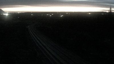


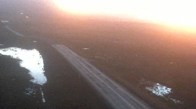


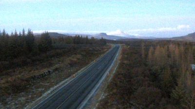


Varmaland combines a quiet farming character with geothermal activity in a way that reflects its position in the Borgarfjörður countryside of western Iceland. The settlement lies in an inland district shaped by the Hvítá river, where cultivated fields give way to open heath and the approach to the highlands. Borgarfjörður is closely tied to Icelandic saga heritage: nearby Reykholt was the home of the medieval writer and chieftain Snorri Sturluson. Deildartunguhver, one of Europe’s most productive hot springs by flow, is also in this part of the valley. Continue through nearby webcams to explore different parts of Borgarfjörður and Iceland’s Western Region.
4 webcams
Glacial rivers, lava fields and the shores of Borgarfjörður shape much of Iceland’s Western Region, sustaining sheep farms, fishing communities and travel along the Ring Road. The region stretches from the Snæfellsnes Peninsula, crowned by the glacier-capped Snæfellsjökull volcano, to fertile valleys and geothermal sites inland. Reykholt is closely associated with Snorri Sturluson, the medieval Icelandic writer and chieftain, while Deildartunguhver is one of Europe’s most powerful hot springs. Borgarnes and Akranes provide urban links between rural districts and the capital area. See how Western Region fits into western Iceland by browsing webcams nearby.
36 webcams
Iceland occupies a volcanic North Atlantic island on the Mid-Atlantic Ridge, between Europe and North America. Glaciers, black-sand shores and active geothermal areas form a terrain in constant dialogue with the weather; Vatnajökull is Europe’s largest glacier by volume. The Golden Circle links Þingvellir National Park, the Geysir geothermal area and Gullfoss waterfall, while Reykjavík concentrates much of the country’s contemporary culture and design. At Þingvellir, the Alþingi first assembled in 930. Fishing, wool knitwear and geothermal energy remain central to Icelandic life. Find related webcams in the surrounding area to build a fuller picture of Iceland.
655 webcams