 Sauðárkrókur: Norðurárdalur í Skagafirði
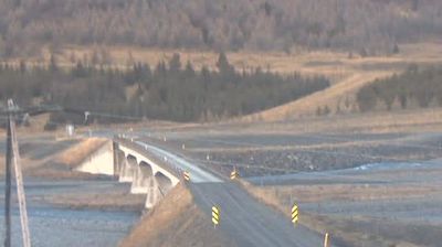
Norðurárdalur occupies a broad valley around the Norðurá in Iceland’s Northwestern Region. In the inland district of Skagafjörður, the river spreads across a wide gravelly floor beneath long, mostly treeless slopes. Its Icelandic name, meaning Northern River Valley, directly reflects the watercourse and landform. Route 1, Iceland’s national ring road, follows this corridor between the lowlands of northwest Iceland and the farming country around Skagafjörður. Scattered farmsteads and fields give the valley a distinctly rural character, while the open terrain conveys the scale of northern Iceland’s interior.
Generated by AI

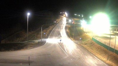

Built around a trading post founded in 1858 at the mouth of the Sauðá, Sauðárkrókur grew into the largest town in northwestern Iceland. It stands on the western shore of Skagafjörður, a broad fjord opening onto the North Atlantic, where low coastal land meets the agricultural valleys of northern Iceland. The town is the service centre for Skagafjörður, a district closely associated with breeding Icelandic horses. Its 1238: The Battle of Iceland exhibition interprets the Sturlung Age conflict that shaped medieval Iceland, linking this modern harbour town with a turbulent national past. Trace Sauðárkrókur’s place within Skagafjörður and northwest Iceland by browsing webcams nearby.
15 webcams
Iceland’s Northwestern Region runs from Húnaflói Bay to Skagafjörður, encompassing broad farming valleys, rugged peninsulas and mountain-fringed fjords. The Blanda flows from the interior to Húnaflói, while Vatnsnes reaches north into the North Atlantic. Skagafjörður is closely associated with Icelandic horse breeding, a tradition still central to the district’s rural identity. At Hólar in Hjaltadalur, an episcopal seat was established in 1106, underlining the area’s importance in medieval Iceland. View additional webcams nearby to better understand how the Northwestern Region relates to northern Iceland’s coast and interior.
40 webcams
Iceland occupies a volcanic North Atlantic island on the Mid-Atlantic Ridge, between Europe and North America. Glaciers, black-sand shores and active geothermal areas form a terrain in constant dialogue with the weather; Vatnajökull is Europe’s largest glacier by volume. The Golden Circle links Þingvellir National Park, the Geysir geothermal area and Gullfoss waterfall, while Reykjavík concentrates much of the country’s contemporary culture and design. At Þingvellir, the Alþingi first assembled in 930. Fishing, wool knitwear and geothermal energy remain central to Icelandic life. Find related webcams in the surrounding area to build a fuller picture of Iceland.
657 webcams