 Svalbarðseyri: Gauksmýri
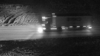
Langidalur straddles the broad approach to the Öxnadalsheiði ridge in northern Iceland, and its position has made this valley an important overland corridor between northern districts. Route 1 follows the valley through terrain of low, treeless slopes, wet ground and shallow watercourses rather than dense settlement. This section forms part of Iceland’s Ring Road, the national highway that circles the island and links many of its principal communities. Langidalur has no urban monument at its core; its character comes from the scale of the open uplands and the road engineering needed to carry traffic through a sparsely populated interior.
Generated by AI




Svalbarseyri occupies a low coastal shelf on the eastern shore of Eyjafjörður in Iceland’s Northeastern Region. This small settlement faces across the fjord toward the mountains above Akureyri, while its inland side rises quickly into the broad, cultivated valley landscape of northern Iceland. Route 83 follows the shore here, connecting the community with Akureyri and the smaller settlements farther around the fjord. Svalbarðskirkja, the local parish church, provides a recognisable focal point and recalls the long-established rural communities of Eyjafjörður. Find related webcams in the surrounding area to build a fuller picture of Eyjafjörður.
6 webcams
Northeastern Region combines restless volcanic terrain with sparsely settled farmland in a way that reflects its position within Iceland’s geologically active north. Around Lake Mývatn, lava fields, wetlands and geothermal ground lie close together, creating one of the country’s most distinctive inland environments. The Skútustaðagígar pseudocraters and the dark lava formations of Dimmuborgir trace the area’s volcanic origins, while the Krafla system and Námafjall geothermal area show its continuing activity. At Grenjaðarstaður, a preserved turf farm recalls the building traditions of rural Iceland. Browse additional webcams nearby to see how the Mývatn district connects to northeastern Iceland’s volcanic interior.
75 webcams
Iceland occupies a volcanic North Atlantic island on the Mid-Atlantic Ridge, between Europe and North America. Glaciers, black-sand shores and active geothermal areas form a terrain in constant dialogue with the weather; Vatnajökull is Europe’s largest glacier by volume. The Golden Circle links Þingvellir National Park, the Geysir geothermal area and Gullfoss waterfall, while Reykjavík concentrates much of the country’s contemporary culture and design. At Þingvellir, the Alþingi first assembled in 930. Fishing, wool knitwear and geothermal energy remain central to Icelandic life. Find related webcams in the surrounding area to build a fuller picture of Iceland.
628 webcams