 Egilsstaðir: Gautavík
Tucked between Iceland’s eastern highlands and the Eastfjords, Græfur is a place whose character is shaped by open, treeless upland and the road crossing it. This stretch of the Ring Road lies south of Egilsstaðir, linking the Lagarfljót district with the fjord communities farther east. Low rounded slopes, heath and exposed ground give the area a distinctly interior feel, despite its proximity to the coast. Egilsstaðir, set beside Lagarfljót, developed as East Iceland’s leading service centre and remains the region’s main hub for transport, shopping and public services. Græfur provides a useful sense of the wide, sparsely settled terrain that frames this part of Iceland.
Generated by AI
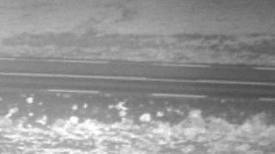




The Lagarfljót river-lake system defines the setting of Egilsstaðir — its broad waters and low surrounding hills shape a compact inland town that serves much of eastern Iceland. Founded in 1947 as a trading centre, Egilsstaðir grew into the region’s main service hub and a key stop on Iceland’s Ring Road. The town is associated with the nearby Hallormsstaðaskógur, Iceland’s largest forest, which follows the eastern shore of Lagarfljót. Continue to other webcams in the Eastern Region to compare landscapes and settings around Egilsstaðir.
8 webcams
Eastern Region combines remote uplands with sharply cut fjords in a way that reflects its position between Iceland’s central highlands and the North Atlantic. Much of this wide, lightly populated part of Austurland is shaped by water: the Jökulsá á Brú crosses the interior towards Héraðssandar, while Lagarfljót runs beside Egilsstaðir, eastern Iceland’s main service town. Coastline settlements sit at the ends of long fjords rather than along a continuous shore. Fáskrúðsfjörður recalls the era of French fishing crews through its French street names and museum. Trace Eastern Region’s place in Iceland’s east by browsing webcams across neighbouring areas.
46 webcams
Iceland occupies a volcanic North Atlantic island on the Mid-Atlantic Ridge, between Europe and North America. Glaciers, black-sand shores and active geothermal areas form a terrain in constant dialogue with the weather; Vatnajökull is Europe’s largest glacier by volume. The Golden Circle links Þingvellir National Park, the Geysir geothermal area and Gullfoss waterfall, while Reykjavík concentrates much of the country’s contemporary culture and design. At Þingvellir, the Alþingi first assembled in 930. Fishing, wool knitwear and geothermal energy remain central to Icelandic life. Find related webcams in the surrounding area to build a fuller picture of Iceland.
655 webcams