 Komlo: Szent Borbála-templom - Szilvási Általános Iskola - Komlói víztorony - Mecsek
Komló straddles valleys and wooded ridges of the Mecsek in southern Transdanubia, where constrained terrain and coal deposits shaped its growth. Gesztenyés forms part of this hilly town, whose modern character was largely created by 20th-century coal mining. Housing estates, public facilities and older residential streets follow the folds of the land rather than a flat grid. The Mecsek is a low mountain range in Baranya County, marked by extensive woodland and recreational routes. Mining remains central to Komló’s identity despite the industry’s decline. The town combines planned urban development with the forested relief of southern Hungary.
Generated by AI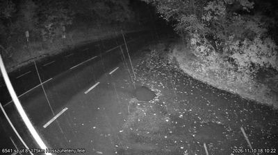

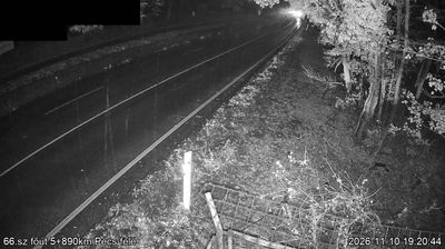
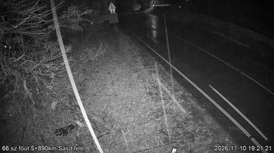
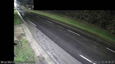


Komló is best known in Hungary for its coal-mining heritage. Set among the wooded eastern foothills of the Mecsek Mountains in southern Transdanubia, the town developed from a small settlement into a major mining centre during the 20th century. Mining brought workers and new districts, giving Komló a distinctly industrial urban identity unlike the wine-focused towns of nearby Baranya. The Komló Mining Museum preserves tools, documents and other material connected with the local pits, while the surrounding hills provide the wider setting for walks and short excursions. Explore nearby webcam locations that provide complementary perspectives on Komló and the Mecsek Mountains.
1 webcam
Built around the lands west of the Danube, Transdanubia grew into Hungary’s broad western historical region. This location lies on Lake Balaton’s northern shore near Balatonfüred, where the Balaton Uplands rise behind the water in a mosaic of vineyards, basalt hills and small settlements. Lake Balaton, Central Europe’s largest lake, has long shaped local recreation, agriculture and summer life. Across the bay, the Tihany Peninsula is marked by its Benedictine Abbey, founded in 1055 and associated with one of Hungary’s earliest surviving written records. Continue with other webcams from the area to see how this part of western Hungary connects regionally.
299 webcams
Hungary combines a long urban tradition with expansive lowland horizons in a way that reflects its position within the Carpathian Basin. The Danube runs through Budapest, separating the hills of Buda from the grand boulevards of Pest, where the Hungarian Parliament Building stands on the riverbank. Beyond the capital, the Great Hungarian Plain shapes much of the east, while Lake Balaton, Central Europe’s largest lake, draws summer visitors to its shores. Thermal bathing remains part of everyday life, and the Tokaj region is internationally known for its historic sweet wines. Explore nearby webcam locations that provide complementary perspectives on Hungary.
742 webcams