 Middletown
 has served as a river port in central Connecticut since the 17th century. Set on the west bank of the Connecticut River, the city developed through maritime trade, shipbuilding and industries that used the river as a transport route. Route 9 now follows this riverfront corridor, while the Arrigoni Bridge carries traffic across the water to Portland. Downtown’s commercial streets stand close to the river, and the Wesleyan University campus, founded in 1831, adds a strong academic and arts presence. Riverbanks, wooded slopes and the broad waterway place Middletown firmly within the lower Connecticut River Valley.
Generated by AI
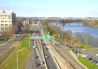

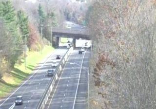
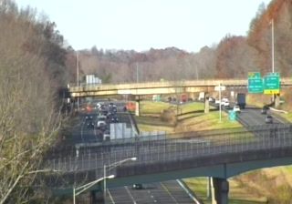
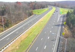


Middletown occupies the west bank of the Connecticut River in central Connecticut. Its broad Main Street follows the old commercial core of a city that developed as an important river port during the 18th and 19th centuries, and downtown still combines brick storefronts, civic buildings and churches. Wesleyan University, founded in 1831, brings a strong academic presence to the city; its campus includes the Center for the Arts and the Davison Art Center. Riverfront parks keep the tidal Connecticut River close to daily life, while the surrounding valley links Middletown with Hartford and the smaller river towns to the south. Browse additional webcams from central Connecticut to extend your view of the Connecticut River Valley.
13 webcams
Connecticut combines a deep manufacturing heritage with a heavily wooded interior in a way that reflects its position within southern New England. The Connecticut River runs south through the state before entering Long Island Sound at Old Saybrook, linking inland towns with the tidal coast. Hartford became a major American insurance centre, while New Haven is home to Yale University, founded in 1701. Along the Sound, working harbours and long-established coastal communities contrast with the quieter hills and small towns farther inland. Browse nearby webcams to see Connecticut’s place in the wider New England region.
324 webcams
The Atlantic, Pacific and Gulf coasts define much of the United States — their ports, fisheries and trade routes have long tied the country’s economy to the wider world. Between them, the Rocky Mountains, Great Plains and Mississippi River basin form sharply different regions, from high western ranges to broad agricultural heartlands. Cities carry much of the national story: New York’s Statue of Liberty, a gift from France dedicated in 1886, remains an enduring symbol, while Washington, DC concentrates major federal institutions. Indigenous nations have shaped these lands for millennia, and their living cultures remain essential to the country’s identity. Find related webcams in the surrounding areas to build a fuller picture of the United States.
32K webcams