 Danbury
The Berkshire foothills define the setting of Danbury — wooded ridges and low valleys give this western Connecticut city a distinctly inland character. Danbury grew from a colonial settlement into one of America’s leading hat-manufacturing centres, earning the enduring nickname Hat City. The Danbury Museum & Historical Society preserves parts of that legacy. Near the New York state line, the city is a regional commercial centre where Interstate 84 and U.S. Route 7 form an important road junction. Western Connecticut State University has a downtown campus, while Candlewood Lake lies north of the city amid the surrounding upland terrain.
Generated by AI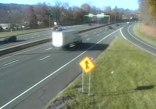
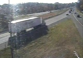


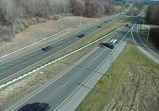

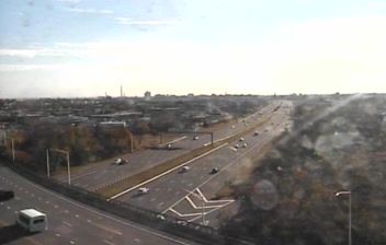
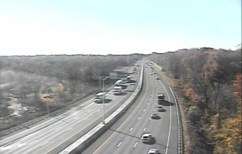

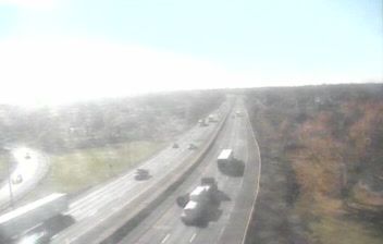

Few cities in Connecticut have a history as closely tied to the hat-making industry as Danbury. During the 19th and early 20th centuries, its factories earned it the enduring nickname “Hat City,” and the Danbury Museum & Historical Society preserves parts of that local story. The Still River, a tributary of the Housatonic River, runs through the city, while Candlewood Lake lies just to the north. Danbury also sits at an important meeting point between western Connecticut and the wider New York metropolitan area. Continue with other webcams from the area to see how this part of Connecticut connects regionally.
4 webcams
Connecticut combines a deep manufacturing heritage with a heavily wooded interior in a way that reflects its position within southern New England. The Connecticut River runs south through the state before entering Long Island Sound at Old Saybrook, linking inland towns with the tidal coast. Hartford became a major American insurance centre, while New Haven is home to Yale University, founded in 1701. Along the Sound, working harbours and long-established coastal communities contrast with the quieter hills and small towns farther inland. Browse nearby webcams to see Connecticut’s place in the wider New England region.
323 webcams
The Atlantic, Pacific and Gulf coasts define much of the United States — their ports, fisheries and trade routes have long tied the country’s economy to the wider world. Between them, the Rocky Mountains, Great Plains and Mississippi River basin form sharply different regions, from high western ranges to broad agricultural heartlands. Cities carry much of the national story: New York’s Statue of Liberty, a gift from France dedicated in 1886, remains an enduring symbol, while Washington, DC concentrates major federal institutions. Indigenous nations have shaped these lands for millennia, and their living cultures remain essential to the country’s identity. Find related webcams in the surrounding areas to build a fuller picture of the United States.
32K webcams