 Squirrel Creek
 sits at the foothills of the Blue Ridge Mountains in northeastern Georgia, United States, where State Routes 60 and 136 form a busy junction in Hall County. This is a road-oriented settlement landscape north of Gainesville, with mature woodland, scattered homes and small businesses meeting a wide, signal-controlled intersection. SR 60 runs north toward Dahlonega and the mountain country, while SR 136 provides an east–west connection across northern Georgia. Hall County was created in 1818 and named for Lyman Hall, a Georgia signer of the Declaration of Independence. The crossroads reflects the transition from Gainesville’s growing outskirts to the more dispersed communities of the North Georgia foothills.
Generated by AI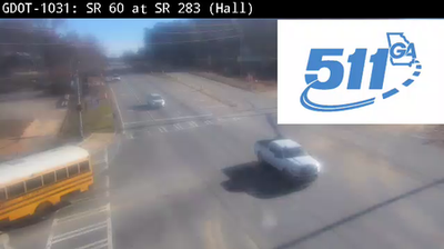

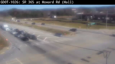
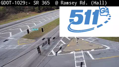
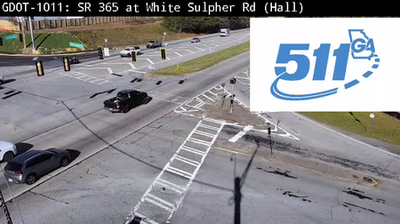


Built around the Squirrel Creek valley, Squirrel Creek grew into a rural community in northeast Georgia’s rolling foothill country. The area lies within the wider Appalachian region, where wooded ridges and small stream valleys shape a quieter landscape than Georgia’s larger urban centres. Northeast Georgia was part of the Cherokee homeland before the nineteenth-century removal of the Cherokee people, a history that remains central to understanding the region. Trace Squirrel Creek’s place in northeast Georgia by browsing webcams nearby.
1 webcam
The terrain of Georgia ranges from the Blue Ridge Mountains in the north to the low, sandy Atlantic Coastal Plain in the south and east, creating a state of sharply varied landscapes. The Chattahoochee River follows much of the Alabama border, while the Savannah River forms much of the boundary with South Carolina before reaching the Atlantic. Atlanta is closely linked to the US civil rights movement and includes the Martin Luther King Jr. National Historical Park. On the coast, barrier islands and salt marshes frame Savannah, whose historic district is recognised for its network of public squares. Explore related webcams in the surrounding area to build a fuller picture of Georgia.
2.9K webcams
The Atlantic, Pacific and Gulf coasts define much of the United States — their ports, fisheries and trade routes have long tied the country’s economy to the wider world. Between them, the Rocky Mountains, Great Plains and Mississippi River basin form sharply different regions, from high western ranges to broad agricultural heartlands. Cities carry much of the national story: New York’s Statue of Liberty, a gift from France dedicated in 1886, remains an enduring symbol, while Washington, DC concentrates major federal institutions. Indigenous nations have shaped these lands for millennia, and their living cultures remain essential to the country’s identity. Find related webcams in the surrounding areas to build a fuller picture of the United States.
32K webcams