 Rome: Chateau Drive Southeast - Highway 20
Rome occupies the confluence of the Etowah and Oostanaula rivers in northwest Georgia. The two rivers join here to form the Coosa River, giving the city a river-centered setting uncommon in this part of the state. Chateau Drive Southeast and Highway 20 lie on Rome’s southeastern side, where local streets connect with a principal regional route. Founded in 1834, Rome developed as a trading center at the meeting of the rivers and later grew into an industrial city. Its compact downtown is organized around Broad Street, while Berry College, founded in 1902, has a large campus northeast of the city center.
Generated by AI
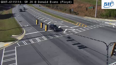

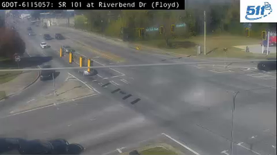

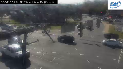
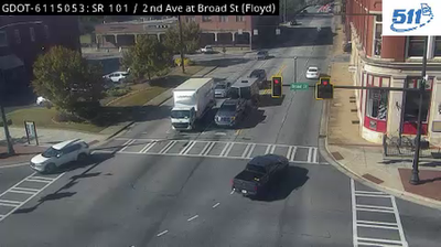
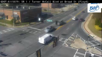
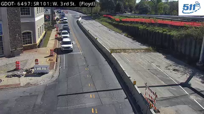
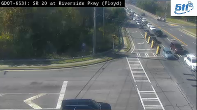

Rome is best known within Georgia for the meeting of the Oostanaula and Etowah rivers, which form the Coosa River in the city. Set among seven hills in northwest Georgia, it was named for its Italian counterpart, an allusion that still shapes its local identity. Downtown centres on Broad Street and the historic Rome Clock Tower. The Chieftains Museum, in the former home of Cherokee leader Major Ridge, examines the region’s Cherokee history and the upheaval of removal. Riverfront paths and parks maintain Rome’s close connection with its waterways. Continue through nearby webcams to explore different parts of Rome and northwest Georgia.
20 webcams
The terrain of Georgia ranges from the Blue Ridge Mountains in the north to the low, sandy Atlantic Coastal Plain in the south and east, creating a state of sharply varied landscapes. The Chattahoochee River follows much of the Alabama border, while the Savannah River forms much of the boundary with South Carolina before reaching the Atlantic. Atlanta is closely linked to the US civil rights movement and includes the Martin Luther King Jr. National Historical Park. On the coast, barrier islands and salt marshes frame Savannah, whose historic district is recognised for its network of public squares. Explore related webcams in the surrounding area to build a fuller picture of Georgia.
2.9K webcams
The Atlantic, Pacific and Gulf coasts define much of the United States — their ports, fisheries and trade routes have long tied the country’s economy to the wider world. Between them, the Rocky Mountains, Great Plains and Mississippi River basin form sharply different regions, from high western ranges to broad agricultural heartlands. Cities carry much of the national story: New York’s Statue of Liberty, a gift from France dedicated in 1886, remains an enduring symbol, while Washington, DC concentrates major federal institutions. Indigenous nations have shaped these lands for millennia, and their living cultures remain essential to the country’s identity. Find related webcams in the surrounding areas to build a fuller picture of the United States.
32K webcams