 Fredonia: North Thomasville Bypass - U.S. Highway 319
North Thomasville Bypass sits on the Gulf Coastal Plain in southwest Georgia, United States, where a broad road junction links U.S. Highway 319 with Thomasville’s northern street network. At Fredonia, on the city’s outer edge, the multilane crossing channels both local trips and longer-distance traffic around central Thomasville. U.S. 319 is a north–south federal highway running through the city, while the bypass is part of the route system serving its outlying districts. Thomasville is the seat of Thomas County and developed into a winter-resort town in the late 19th and early 20th centuries. Its downtown preserves commercial buildings and houses from that era, connecting this practical road corridor to a city with an established architectural heritage.
Generated by AI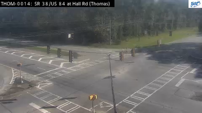
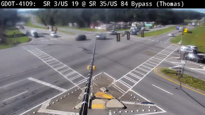
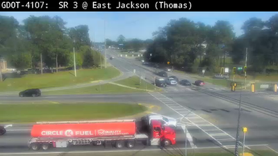
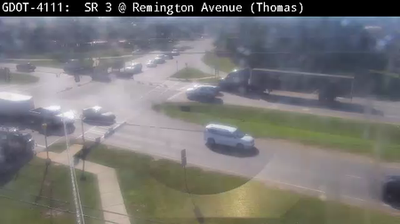
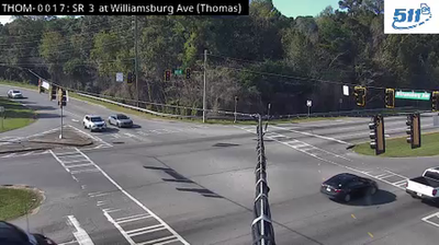
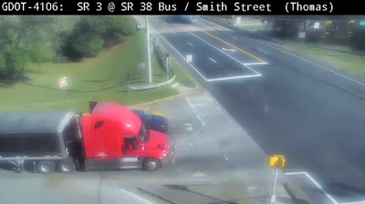
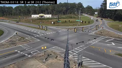
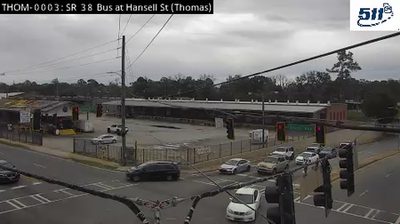
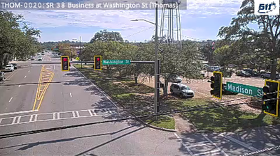


Fredonia is best known within Georgia for its identity as a small rural settlement in the state’s southern interior. It lies in the Coastal Plain, a broad lowland region where farming, forestry and pine woodland shape much of the landscape. The community forms part of the wider Thomas County area near Thomasville, the county seat, which is associated with its annual Rose Show and Festival each spring. Open country and quiet local roads set a distinctly slower pace than Georgia’s major urban centres. Browse other webcams across southern Georgia to place this setting in a wider geographic context.
2 webcams
The terrain of Georgia ranges from the Blue Ridge Mountains in the north to the low, sandy Atlantic Coastal Plain in the south and east, creating a state of sharply varied landscapes. The Chattahoochee River follows much of the Alabama border, while the Savannah River forms much of the boundary with South Carolina before reaching the Atlantic. Atlanta is closely linked to the US civil rights movement and includes the Martin Luther King Jr. National Historical Park. On the coast, barrier islands and salt marshes frame Savannah, whose historic district is recognised for its network of public squares. Explore related webcams in the surrounding area to build a fuller picture of Georgia.
2.9K webcams
The Atlantic, Pacific and Gulf coasts define much of the United States — their ports, fisheries and trade routes have long tied the country’s economy to the wider world. Between them, the Rocky Mountains, Great Plains and Mississippi River basin form sharply different regions, from high western ranges to broad agricultural heartlands. Cities carry much of the national story: New York’s Statue of Liberty, a gift from France dedicated in 1886, remains an enduring symbol, while Washington, DC concentrates major federal institutions. Indigenous nations have shaped these lands for millennia, and their living cultures remain essential to the country’s identity. Find related webcams in the surrounding areas to build a fuller picture of the United States.
32K webcams