 Ashburton: SH1 Tinwald North
The Hakatere / Ashburton River defines the setting of Ashburton — its braided channels run across the Canterbury Plains, an intensively farmed landscape that gives this South Island town its open, orderly character. Ashburton is the principal service centre for Mid Canterbury, with State Highway 1 following East Street through its commercial core and linking Christchurch with Timaru. The wider district is known for arable farming and livestock, supported by irrigation drawn from the plains’ rivers and aquifers. The Ashburton Art Gallery and Heritage Centre adds a civic cultural focus, presenting art and local stories in the town centre. Beyond the urban streets, the flat plains extend toward the foothills of the Southern Alps / Kā Tiritiri o te Moana.
Generated by AI
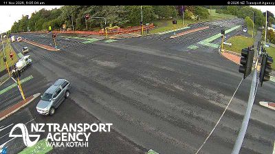



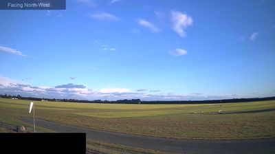
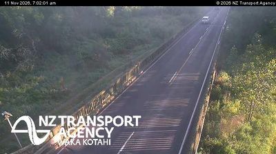
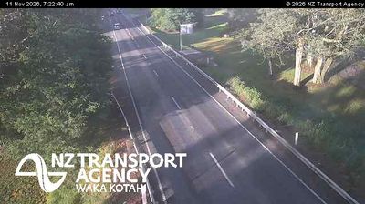

Developed around a crossing of the Ashburton River / Hakatere, Ashburton grew into Mid Canterbury’s principal service centre. Set on the Canterbury Plains between the Rakaia and Rangitata rivers, it supports a farming district known for irrigated crops and livestock. State Highway 1 and the Main South Line pass through town, reflecting Ashburton’s long-standing role in moving people and produce along New Zealand’s east coast. Ashburton Museum documents local farming, transport and community life, while the braided Hakatere channel marks the town’s eastern side. Discover other points of interest through webcams located across Ashburton and Canterbury.
6 webcams
The terrain of Canterbury ranges from the Southern Alps on its western margin to the Pacific coastal plains in the east, creating a region of braided rivers, dry grasslands and productive farmland. The Canterbury Plains are crossed by rivers including the Rakaia and Waimakariri, whose shifting gravel channels define much of the South Island interior. Farther inland, Aoraki/Mount Cook rises among New Zealand’s highest mountains. Ngāi Tahu are the mana whenua of Canterbury, and their relationship with land and waterways remains fundamental to the region’s identity. Christchurch, the regional centre, adds an urban dimension through its parks, arts institutions and architecture reshaped after earthquakes. Continue with other webcams from the area to see how this part of New Zealand’s South Island connects regionally.
119 webcams
New Zealand combines Pacific isolation with strong ties to the wider South Pacific in a way that reflects its position between the Tasman Sea and the open Pacific Ocean. The country’s two main islands are divided by Cook Strait, while the Southern Alps run along much of the South Island and include Aoraki / Mount Cook, its highest mountain. On the North Island, volcanic terrain shapes Tongariro National Park and the central plateau; long coastlines frame cities such as Auckland and Wellington. Māori culture is central to national life, and the Treaty of Waitangi, first signed in 1840, remains a foundational document in relations between Māori and the Crown. See how New Zealand fits within the wider South Pacific by browsing webcams nearby.
495 webcams